What is recorded here
Fairy fort / ringfort in Inane is a fairy fort or ringfort in Inane, County Tipperary, Ireland. A possible double-ringed enclosure occupied the east-facing slope of a low hillock, and the 1840 map still showed that shape before later field work removed the visible trace. The level area measured about 40 metres across, leaving only a faint bank hint at the north edge.
Possible bivallate ringfort located on the E-facing slope of a low hillock on undulating land, under tillage. Indicated on the 1st ed. (1840) OS 6-inch map as a circular enclosure consisting of a double ring, but not indicated on subsequent 1901-5 ed. The site has been levelled and but may have been located on a natural scarp in the field which provides a level area (diam. c. 40m) and appears to have a slight hint of a bank at N. Cropmark of bivallate ringort (TN017-089----) 180m to NE.
See attached google earth photographs taken 10/07/2018
The above description is derived from 'The Archaeological Inventory of County Tipperary. Vol. 1 - North Tipperary' compiled by Jean Farrelly and Caimin O'Brien (Dublin: Stationery Office, 2002). In certain instances the entries have been revised and updated in the light of recent research.
Revised by: Caimin O'Brien
Date of upload/revision: 29 May 2019
The monument record does not grant public access. Check the route and ask the landowner before entering private land.
- What survives
- Recorded monument
Places near here
 St. Cronans WellHoly well · 527 yd
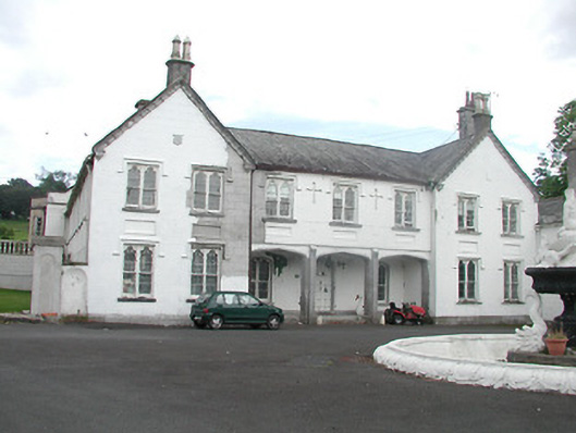 Inane Housecountry house · 542 yd
 Enclosure in Carrick (roscrea Par.)Enclosure · 1186 yd
 CastleCastle, unclassified · 1.1 mi
 Mount Dudleyhouse · 1.3 mi
 Castle (in ruins)Castle, tower house · 1.6 mi
 Roscrea Petty Sessions HouseHeritage attraction · 1.8 mi
 White MulberryWhite Mulberry · 1.9 mi
 European ashEuropean ash · 2.1 mi
 Millennium GardenMemorial · 2.7 mi
 Golden Grove HillMountain / peak · 3.0 mi
 Eagle HillMountain / peak · 3.0 mi