What is recorded here
The outline of a levelled oval-shaped enclosure, possibly a ringfort with levelled field system radiating out from the monument is visible on Digital Globe aerial photographs taken November 2011. Not visible on earlier editions of the OSI aerial photographs and not indicated on any edition of the OS 6-inch maps.
Compiled by: Caimin O’Brien
Date of upload: 7 April 2016
The monument record does not grant public access. Check the route and ask the landowner before entering private land.
- What survives
- Recorded monument
Places near here
 Glascarn Househouse · 379 yd
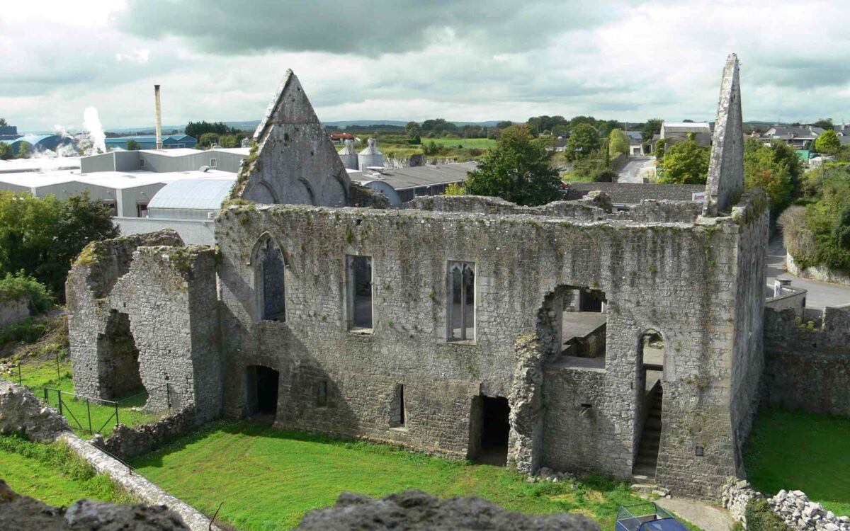 Site of CastleCastle, unclassified · 741 yd
 CastleCastle, unclassified · 1092 yd
 Church (in Ruins)Church · 1109 yd
 Ecclesiastical enclosure in KillahughEcclesiastical enclosure · 1109 yd
 Partially hachuredFairy fort / earthen ringfort · 1324 yd
 Ancient Ring FortWood · 1.3 mi
 WestmeathVisitor information · 1.6 mi
 Hill of UisneachMountain / peak · 3.5 mi
 European ashEuropean ash · 4.3 mi
 Carrickphilbin IslandIslet · 4.9 mi
 Srudarra IslandIslet · 5.3 mi