What is recorded here
Fairy fort / ringfort in Erinagh More is a circular stone enclosure in County Clare, Ireland, visible on maps from 1842 and still marked today. Its flat-topped western wall stands less than half a metre high, yet the shape remains clear enough to suggest deliberate building rather than natural collapse. People may have lived, stored grain or simply drawn a boundary there before the stones softened into grass and legend.
Situated on a slight rise. Listed as 'Enclosure' in the SMR (1992) and the RMP (1996). Indicated as a circular feature (diam. c. 30m) on the 1842 and 1921 eds. of the OS 6-inch map. A subrectangular overgrown area (18m E-W internally; 26.5m externally) with a straight W side (L 14m) defined by a flat-topped stone spread (at W: Wth of base 3m; Wth of top 2.1m; int. H 0.5m; ext. H 0.4m). The perimeter at W has been augmented by spoil.
Compiled by: Michael Moore
Date of upload: 23 May 2016
The monument record does not grant public access. Check the route and ask the landowner before entering private land.
- What survives
- Recorded monument
Places near here
 Kilcross Church (in Ruins)Church · 1061 yd
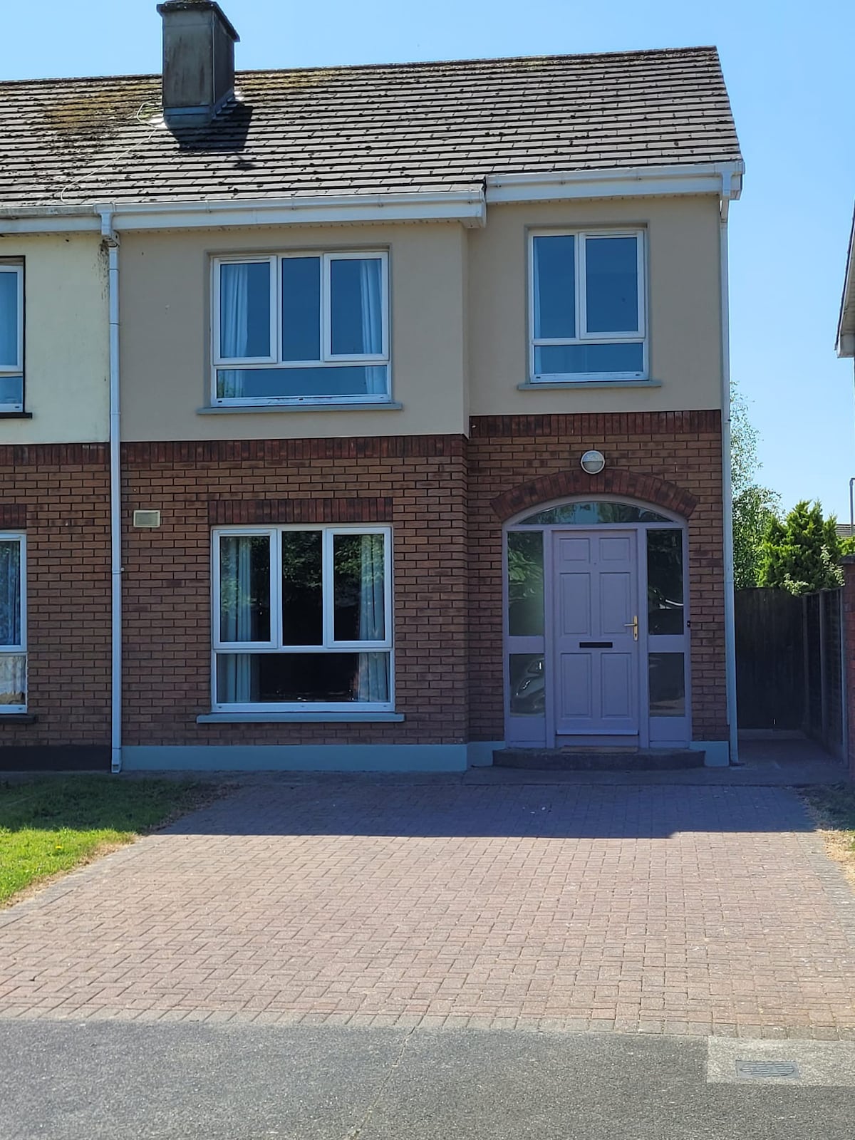 Enclosure in Erinagh BegEnclosure · 1283 yd
 Hilltop enclosure in Ballyneillan (inchiquin By.),bushyparkHilltop enclosure · 1.0 mi
 Magowna CastleCastle · 1.1 mi
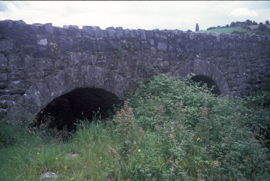 Ballymacquiggan Bridgebridge · 1.2 mi
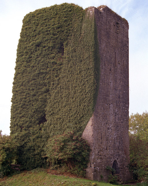 Ballygriffy CastleCastle · 1.5 mi
 Ardcarney WoodWood · 2.0 mi
 Ballygriffy WoodWood · 2.3 mi
 Ennis AbbeyMuseum · 2.9 mi
 Clare MuseumMuseum · 3.0 mi
 Poul na gollorCave · 3.0 mi
 Alice and Gwendoline CaveMuseum · 4.1 mi