What is recorded here
Fairy fort in Castlegar East, a shallow circular scar thirty-five metres across, still holds its shape beside a field wall and hidden trees. People may have lived there before forgetting the name, or the fairies may have taken the house and kept the outline. Either way the ground remembers shape when human pride has gone.
Some 130m ENE of a ringfort (). Poorly preserved subcircular rath (N-S 35m, E-W 28m) defined by a scarp. A field wall encircles the monument from SSE through W to NNE. The interior is planted with trees.
The above description is derived from the published 'Archaeological Inventory of County Galway Vol. II - North Galway'. Compiled by Olive Alcock, Kathy de hÓra and Paul Gosling (Dublin: Stationery Office, 1999).
Date of upload: 05 August 2010
The monument record does not grant public access. Check the route and ask the landowner before entering private land.
- What survives
- Recorded monument
Places near here
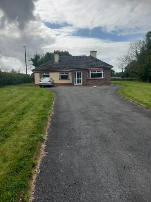 Country house in Castlegar EastCountry house · 541 yd
 Castlegarfarmyard complex · 662 yd
 LismoneyForest · 708 yd
 LiskellyFairy fort / ringfort · 1250 yd
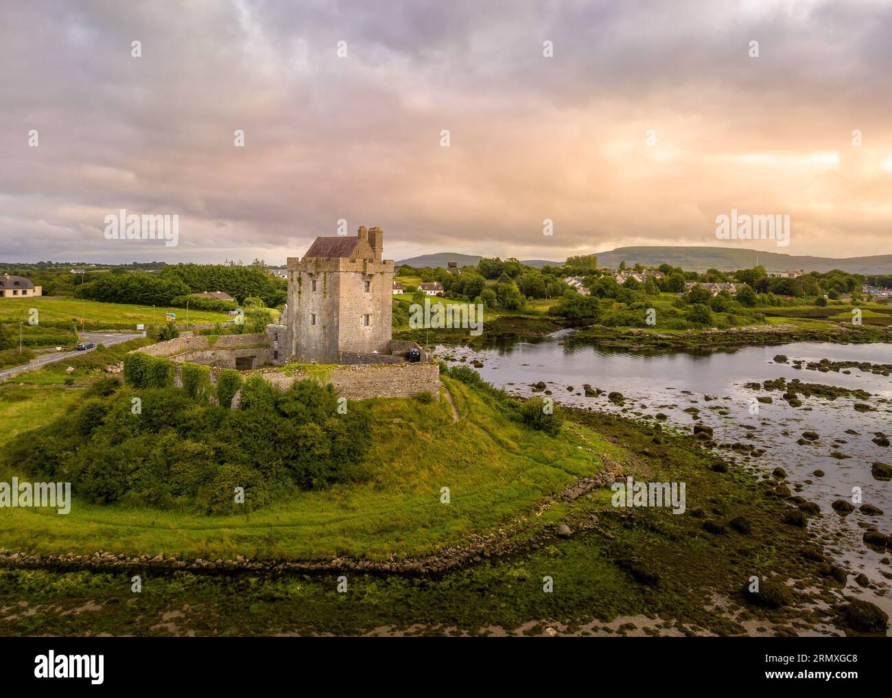 LisnarnooFairy fort / ringfort · 1271 yd
 European ashEuropean ash · 2.5 mi
 Killure Castle (in ruins)Castle, tower house · 2.7 mi
 Clooncoran IslandIsland · 2.9 mi
 Clonbrock CastleCastle, tower house · 3.7 mi
 Inch IslandIsland · 3.9 mi
 Kilconnell AbbeyHeritage attraction · 6.5 mi
 Battle of Aughrim Interpretative CentreMuseum · 7.0 mi