What is recorded here
Three deep fosses and three tall banks circle a thirty-metre grassy fort inside the old Castlegar Demesne. People later forced stone steps through the earth and built a wall on the inner bank, turning an ancient defensive place into a decorative feature for a mansion. The fort still holds its shape beneath the turf, waiting for someone to stop seeing it as scenery and start asking what it was built to keep out.
In grassland within the former Castlegar Demesne. Circular rath (D 30m), in fair condition, defined by three banks and three fosses. Subsequently reused and modified as a landscape feature when stone steps were inserted into gaps at ESE and WSW in the inner and middle banks respectively. A later (and now collapsed) wall was built on top of the inner bank, while the outer face of the outer bank was reinforced with stone. Within the interior is a low circular mound (D c. 18m) and the remains of a structure named 'Cottage' on 1st ed. of OS 6-inch map. A ringfort (GA061-037----) lies c. 130m to ENE.
The above description is derived from the published 'Archaeological Inventory of County Galway Vol. II - North Galway'. Compiled by Olive Alcock, Kathy de hÓra and Paul Gosling (Dublin: Stationery Office, 1999).
Date of upload: 05 August 2010
The monument record does not grant public access. Check the route and ask the landowner before entering private land.
- What survives
- Recorded monument
Places near here
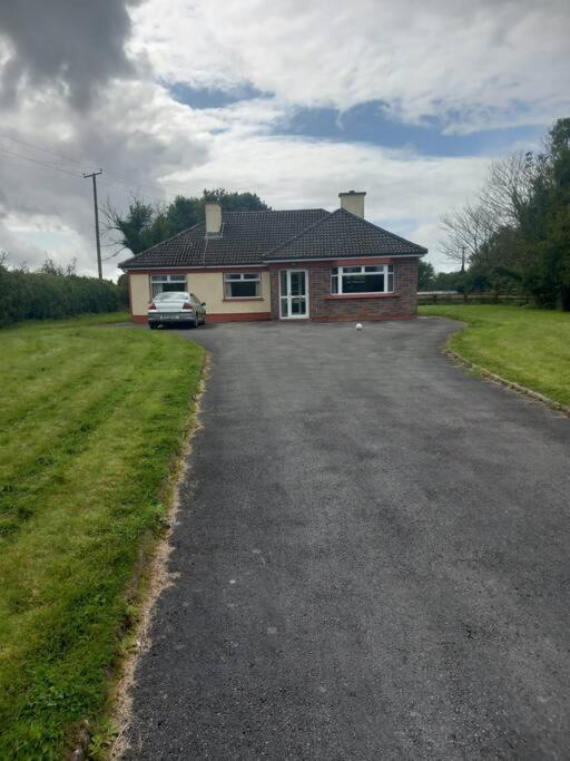 Country house in Castlegar EastCountry house · 249 yd
 Castlegarfarmyard complex · 375 yd
 LismoneyForest · 819 yd
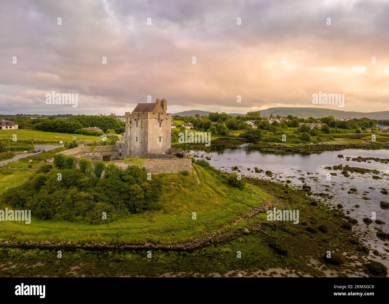 LisnarnooFairy fort / ringfort · 989 yd
 IndicatedEnclosure · 1364 yd
 European ashEuropean ash · 2.4 mi
 Killure Castle (in ruins)Castle, tower house · 2.7 mi
 Clooncoran IslandIsland · 3.0 mi
 Clonbrock CastleCastle, tower house · 3.5 mi
 Inch IslandIsland · 4.0 mi
 Kilconnell AbbeyHeritage attraction · 6.4 mi
 Battle of Aughrim Interpretative CentreMuseum · 7.0 mi