What is recorded here
No amount of thinking can force a new exact person, date, event or place name into that answer.
Situated on a low E-W ridge of rock outcrop. This is a D-shaped overgrown area (dims c. 26m NE-SW; c. 26m NW-SE) defined by a severe slope (H 4-6m) down at the straight SE side and by an earth and stone bank (Wth 5m; ext. H 0.6-1m) SE-S, which is reduced to a slight scarp elsewhere. There is no visible fosse or entrance. There is a square clearance cairn (dims 3.5m x 3.5m; H 0.4m) on exposed rock outcrop at the centre.
The above description is derived from 'The Archaeological Inventory of County Leitrim' compiled by Michael J. Moore (Dublin: Stationery Office, 2003). In certain instances the entries have been revised and updated in the light of recent research.
Date of upload: 23 September 2008
The monument record does not grant public access. Check the route and ask the landowner before entering private land.
- What survives
- Recorded monument
Places near here
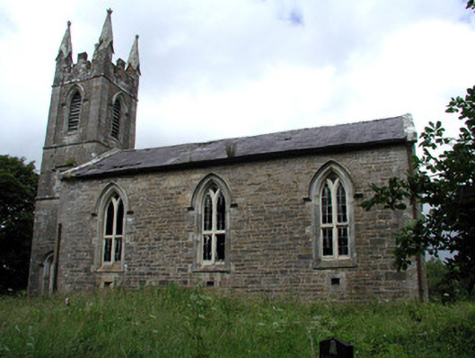 Killarga Churchchurch/chapel · 659 yd
 kilnkiln · 1402 yd
 Enclosure in BelhavelEnclosure · 1505 yd
 IndicatedFairy fort / stone ringfort · 1554 yd
 Green IslandIslet · 2.7 mi
 Old HallCastle, hall-house · 3.2 mi
 Doonbran Isd.Bawn · 4.7 mi
 BenboMountain / peak · 4.7 mi
 The Giants GraveArchaeological place · 4.8 mi
 Cullentra ForestForest · 5.1 mi
 Parke's CastleHeritage attraction · 5.5 mi
 SlishwoodWood · 6.6 mi