What is recorded here
Caltragh held a thirty-metre circular fort on an east-facing slope before the grass and time erased its boundary. People likely lived inside that ring, facing the sunrise and defending against whatever came from the dark. The fort vanished without a monument, leaving only a clean field where human urgency once shaped the earth.
On an E-facing slope in grassland. Marked on 1st ed. of OS 6-inch map as a circular enclosure (D c. 30m); no visible surface trace survives.
The above description is derived from the published 'Archaeological Inventory of County Galway Vol. II - North Galway'. Compiled by Olive Alcock, Kathy de hÓra and Paul Gosling (Dublin: Stationery Office, 1999).
Date of upload: 05 August 2010
The monument record does not grant public access. Check the route and ask the landowner before entering private land.
- What survives
- Recorded monument
Places near here
 Enclosure in Caltragh (killower Ed)Enclosure · 603 yd
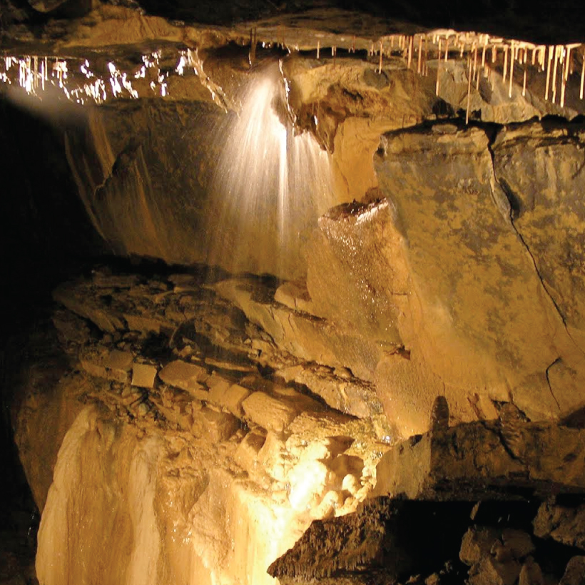 CaveMan-made underground passage · 870 yd
 Designed landscapeDesigned landscape, summer house · 1472 yd
 KnockmaaWood · 1718 yd
 Castle Hacket (in ruins)Castle, hall-house · 1.1 mi
 Cashlaun Feecul in ruinsCastle, unclassified · 1.3 mi
 Castle Hacketdemesne walls/gates/railings · 1.5 mi
 Kilcoona Round TowerHeritage attraction · 3.0 mi
 Mass RockNamed rock · 4.1 mi
 Pesooge PlantationForest · 5.3 mi
 Ballinduff BayBay · 5.4 mi
 Walsh's IslandIslet · 6.6 mi