What is recorded here
Killoran's lost fort stood on a grassy rise above a stream, a simple circular bank where people likely lived before reclamation erased it. The landowner still calls it a fort, preserving the shape of what vanished. A stone axehead found nearby suggests ordinary human work, not fairy trickery, though the name still dances around the absence.
On a natural rise in grassland, 150m N of a stream. According to the landowner, this is the site of a 'fort' which consisted of a circular enclosure defined by a bank. However, the area was levelled some years ago during land reclamation and no visible surface trace survives. A 'stone axehead' was found c. 250m to SE (Topgr. Files, NMI).
The above description is derived from the published 'Archaeological Inventory of County Galway Vol. II - North Galway'. Compiled by Olive Alcock, Kathy de hÓra and Paul Gosling (Dublin: Stationery Office, 1999).
Date of upload: 05 August 2010
The monument record does not grant public access. Check the route and ask the landowner before entering private land.
- What survives
- Recorded monument
Places near here
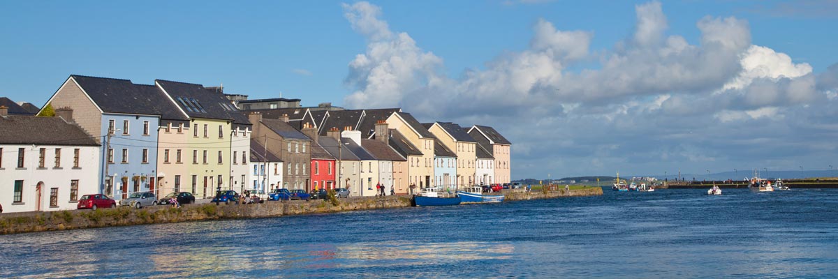 LisnarupFairy fort / earthen ringfort · 903 yd
 Man-made underground passage in ChelseaMan-made underground passage · 1280 yd
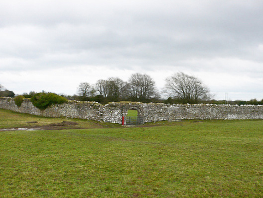 Ballydonnellan Castlewalled garden · 1482 yd
 Cartron Ho.House, 18th/19th century · 1605 yd
 Park CastleCastle, hall-house · 3.0 mi
 Bawn in Cooltymurraghy (clonmacnowen By.)Bawn · 3.6 mi
 Battle of AughrimMajor battlefield · 4.0 mi
 Battle of Aughrim Interpretative CentreMuseum · 4.1 mi
 The bloody HollowHeritage attraction · 4.2 mi
 Oak WoodWood · 4.2 mi
 Dartfield Horse MuseumHeritage attraction · 4.4 mi
 Urraghry HillMountain / peak · 5.3 mi