What is recorded here
Ballyedmonduff holds a broken ringfort on the eastern summit of Three Rock Mountain, mapped in 1843 as a 34m oval with three internal rooms. A forest track later cut through the site, removing the southeast quadrant and leaving only a 21m semicircle bounded by a low earth-and-stone bank. The surviving northern curve still has a 2.5m opening at the northeast, perhaps the original entrance, while the missing half has become a road for wheels and feet.
Located on the E summit of Three Rock Mountain in a forestry plantation. A ringfort marked as an oval enclosure (est. int L c. 34m; Wth c. 28m) on the 1843 OS 6-inch map. The map shows three internal divisions within this enclosure. The N section of the site has been cut through by a forest track which has removed the SE quadrant. The N portion survives as a semicircular area (int. diam.21m) which is enclosed by a bank of earth and stone (Wth 1.3m; H 0.6m). There is an opening in the NE (Wth 2.5m) which may be the original entrance. To the S of the site is an open-ended enclosure (DU025:029002-).
Compiled by: Geraldine Stout and Padraig Clancy
Revised upload on: 8 July 2018
The monument record does not grant public access. Check the route and ask the landowner before entering private land.
- What survives
- Recorded monument
Places near here
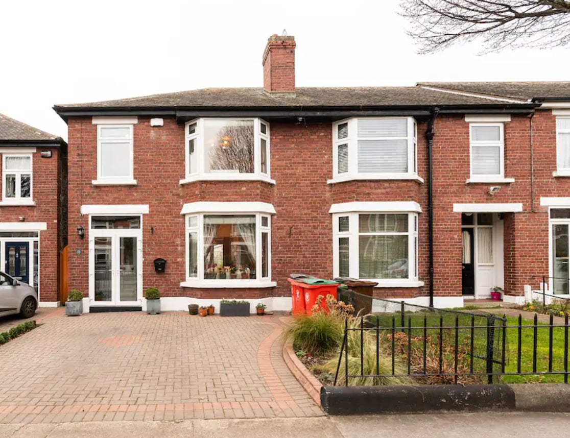 Enclosure in BallyedmonduffEnclosure · 103 yd
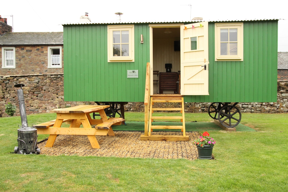 Hut site in BallyedmonduffHut site · 554 yd
 Three Rock MountainMountain / peak · 687 yd
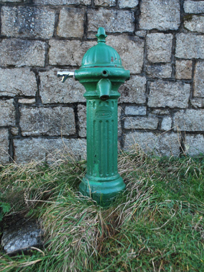 water pumpwater pump · 706 yd
 Ballyedmonduff ForestForest · 1032 yd
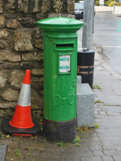 post boxpost box · 1190 yd
 Native WoodlandWood · 1564 yd
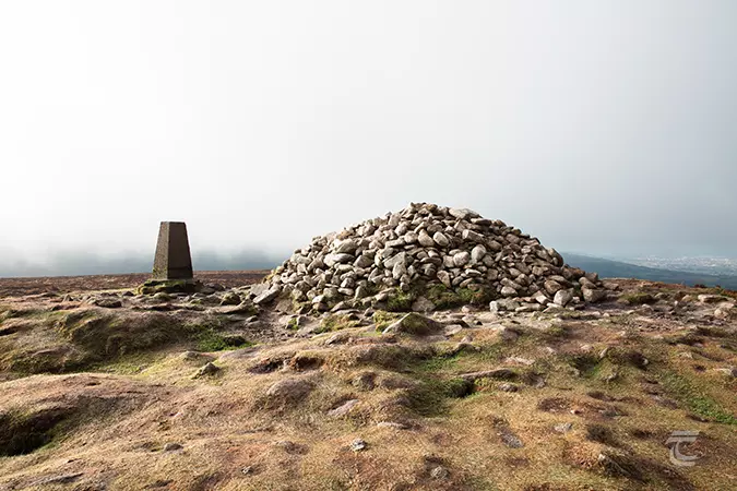 Ticknock - Fairy Castle LoopWalking route · 1588 yd
 Two Rock MountainMountain / peak · 1601 yd
 Dublin Mountains WayWalking route · 1696 yd
 Calbeck CastleRuins · 1.5 mi
 Explorium: National Sport and Science CentreMuseum · 1.5 mi