What is recorded here
Fairy forts are not for people, and Ballycarrane is no exception. Its ring vanished before the later maps arrived, leaving only a faint shadow in the grass and a warning not to trust what disappears.
In pasture on a very slight S-facing slope, 62m E of townland boundary with Ballybronoge South, enclosure (LI021-189----) lies 90m to NE. No surface remains visible. Depicted on the 1840 OS 6-inch map as a circular shaped area (approx. diam. 45m) enclosed by a bank. Not marked on 1897 OS 25-inch map, likely that monument was levelled between these map dates. Faint trace of cropmark of levelled monument visible on Google Earth orthoimage taken 14/02/2020.
See attached Google Earth orthoimages
Compiled by: Fiona Rooney
Date of upload: 16 July 2020
The monument record does not grant public access. Check the route and ask the landowner before entering private land.
- What survives
- Recorded monument
Places near here
 Enclosure in BallycarraneEnclosure · 157 yd
 KilnKiln, corn-drying · 550 yd
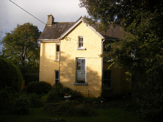 The Villahouse · 563 yd
 Partially hachuredChildren's burial ground · 671 yd
 European BeechEuropean Beech · 2.2 mi
 Ballinveala Castle (in ruins)Castle, tower house · 2.2 mi
 Lebanon CedarLebanon Cedar · 2.3 mi
 Fanningstown Castle (in ruins)Castle, tower house · 2.5 mi
 Dysert AenghusaHeritage attraction · 4.4 mi
 Biodiversity in the Maigue CatchmentVisitor information · 4.4 mi
 Monasteranenagh AbbeyHeritage attraction · 5.5 mi
 Kinnoor WellSpring · 5.5 mi