What is recorded here
Ballingorraun is a hollowed-out quarry in County Offaly where a circular ringfort once stood but no longer shows. The oldest map drew a clear circle, while the newer map admits the ground has been levelled, erasing the shape that people walked around for generations. What was built, defended or abandoned there has been swallowed by extraction and time.
Present remains consist of a quarry with no archaeological features visible, depicted as a circular ringfort on the first edition of the OS 6-inch map but as a partially levelled monument on the current edition of the 6-inch map.
The above description is derived from the published 'Archaeological Inventory of County Offaly' (Dublin: Stationery Office, 1997). In certain instances the entries have been revised and updated in the light of recent research.
Date of upload: 23 May 2011
The monument record does not grant public access. Check the route and ask the landowner before entering private land.
- What survives
- Recorded monument
Places near here
 Enclosure in BallingorraunEnclosure · 607 yd
 Mound in CullenwaineMound · 943 yd
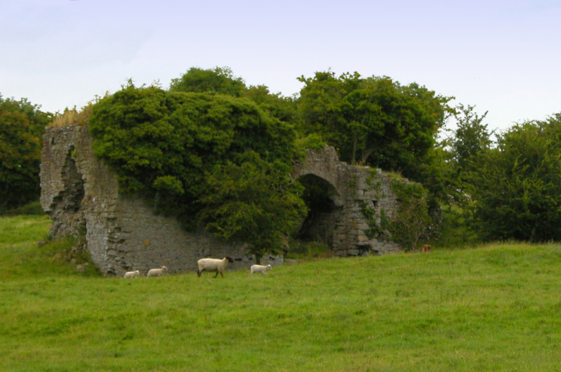 Bawn in CullenwaineBawn · 1067 yd
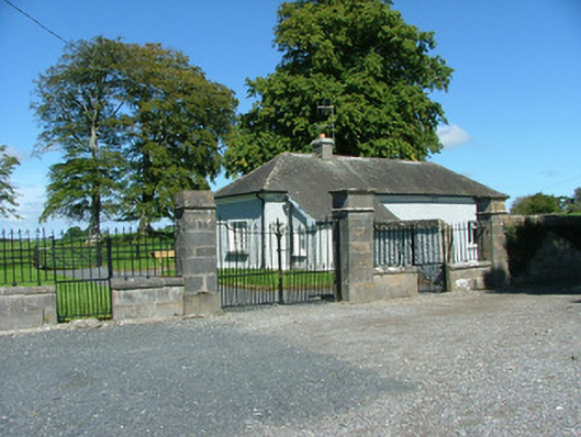 Rathenny Housegate lodge · 1501 yd
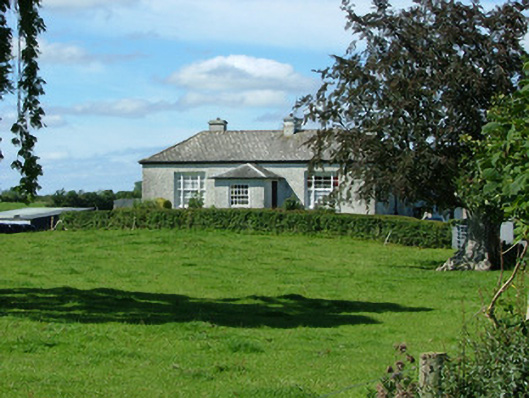 Rathenny Cottagefarm house · 1616 yd
 CastleCastle, tower house · 1.8 mi
 Kyleroe WoodWood · 2.5 mi
 BenduffMountain / peak · 3.7 mi
 Thomas MacDonagh Heritage CentreMuseum · 3.8 mi
 MacDonagh HouseMemorial · 3.8 mi
 Ballycapple WoodForest · 4.6 mi
 Borrisnoe MountainMountain / peak · 4.8 mi