What is recorded here
Fairy fort in Tulrush, County Galway: a shallow earthen ring on a sloping field, thirty metres across, facing a hidden lake and a hill. People may have lived there before the stones disappeared into grass, or the ring may have marked a boundary between human fields and fairy road. Either way, the land kept its shape.
On a NE-facing slope overlooking a turlough to NE and Knockmaa Hill to SW. Poorly preserved subcircular rath (NE-SW 33m, ENE-WSW 31m) defined by a bank at NW and NE, and elsewhere by a scarp. A CBG (GA043-136001-) is associated.
The above description is derived from the published 'Archaeological Inventory of County Galway Vol. II - North Galway'. Compiled by Olive Alcock, Kathy de hÓra and Paul Gosling (Dublin: Stationery Office, 1999).
Date of upload: 05 August 2010
The monument record does not grant public access. Check the route and ask the landowner before entering private land.
- What survives
- Recorded monument
Places near here
 LisheenadrineArchaeological place · 13 yd
 Church in ruinsChurch · 619 yd
 Mary Skerrett's MountArchaeological place · 930 yd
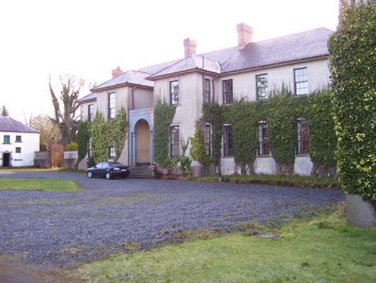 Castle Hacketcountry house · 1.2 mi
 Bawn in ArdrumkillaBawn · 1.3 mi
 Mass RockNamed rock · 1.4 mi
 Castle Hacket (in ruins)Castle, hall-house · 1.6 mi
 KnockmaaWood · 2.1 mi
 European ashEuropean ash · 3.1 mi
 Kilcoona Round TowerHeritage attraction · 5.7 mi
 Walsh's IslandIslet · 9.2 mi
 Oileán an AoilIsland · 10 mi