What is recorded here
Half the ring is gone to quarrying, but the remaining earthen bank still stands on the northern slope above the Yellow River bend. Inside the grassy D-shape, rushes grow thick and the soil feels compressed, as if people once lived there before the stones were taken elsewhere. The missing north edge creates a wound in the landscape, reminding viewers that human making and human taking share the same ground.
Situated on the N-facing slope of a SE-NW spur overlooking bend of the Yellow River which is c. 80-180m distant E-N-W. This is a grass and rush-covered D-shaped area (int. dims 24m E-W; 18m N-S) defined by a scrub-covered earthen bank (Wth 6m; int. H 0.9m; ext. H 1.2m at E to 1.7m at S), an external fosse (Wth of top 6-6.5m; Wth of base 2-3m; ext. D 0.6m at W to 1.3m at S), and a slight outer bank (Wth 4m; ext. H 0.3m) only surviving SW-W. There is an entrance visible as a slight dip of the perimeter (Wth 2.5m) at E. The monument is truncated at N by an old quarry, and the defining features do not survive NW-NE.
The above description is derived from 'The Archaeological Inventory of County Leitrim' compiled by Michael J. Moore (Dublin: Stationery Office, 2003). In certain instances the entries have been revised and updated in the light of recent research.
Date of upload: 23 September 2008
The monument record does not grant public access. Check the route and ask the landowner before entering private land.
- What survives
- Recorded monument
Places near here
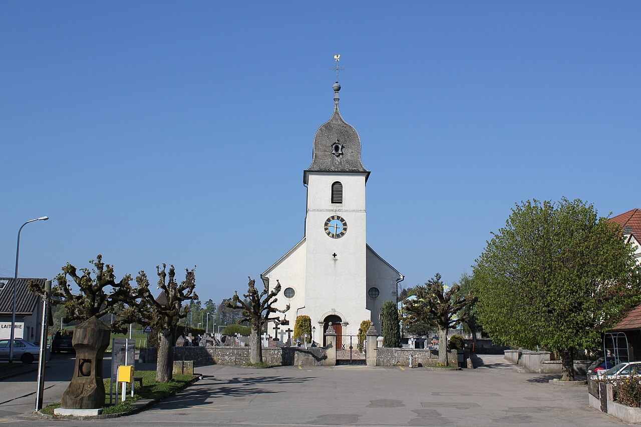 Church in FahyChurch · 1087 yd
 IndicatedFairy fort / stone ringfort · 1118 yd
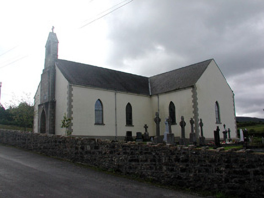 Saint Hugh's Catholic Churchchurch/chapel · 1312 yd
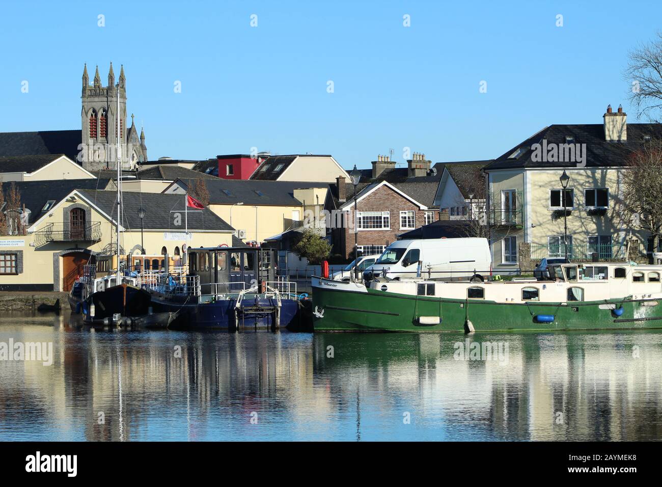 Sweat Ho.Sweathouse · 1603 yd
 Fahy RockIslet · 1.0 mi
 Gull IslandIslet · 2.1 mi
 Forde's CastleCastle · 2.2 mi
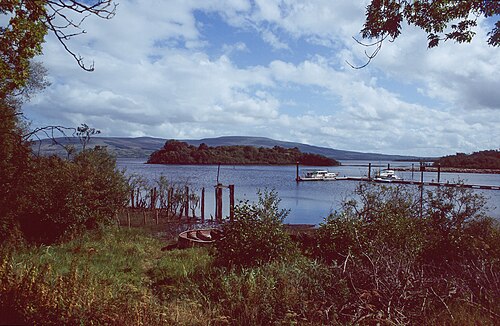 Lough AllenLarge freshwater lake · 2.9 mi
 Republican Garden of RemembranceMemorial · 3.0 mi
 PlaygroudCliff · 3.3 mi
 CarrignahastaCliff · 3.4 mi
 Black PoplarBlack Poplar · 3.4 mi