What is recorded here
Fairy fort in Tullycoly: a D-shaped earth bank 28 metres wide, with a broad south-east entrance and a worn stone nearby. People may have lived there, excluded others, or marked the ridge before written memory. The field bank now cuts across one side, reducing the circle to a fragment that still refuses to be forgotten.
Located on a low E-W drumlin ridge. This is a grass and rush-covered D-shaped area (dims 28m E-W; 24m N-S; int. dims 23m E-W; 20.6m N-S) defined by a grass-covered earthen bank (Wth 4m; int. H 0.1m; ext. H 0.6m at W to 1.2m at S) with some bushes. The entrance (Wth 4.5m) is at SSE but there is no clear evidence of a fosse. The monument is truncated by an E-W field bank at N (L 23m). A bullaun stone (LE015-135002-) is set in the ground c. 4 E of the perimeter at E.
The above description is derived from 'The Archaeological Inventory of County Leitrim' compiled by Michael J. Moore (Dublin: Stationery Office, 2003). In certain instances the entries have been revised and updated in the light of recent research.
Date of upload: 23 September 2008
The monument record does not grant public access. Check the route and ask the landowner before entering private land.
- What survives
- Recorded monument
Places near here
 Enclosure in BeaghEnclosure · 696 yd
 IndicatedSweathouse · 754 yd
 St. Michaels ChurchChurch · 1.6 mi
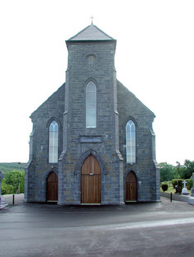 Saint Mary's Catholic Churchchurch/chapel · 1.9 mi
 Old HallCastle, hall-house · 2.9 mi
 MoteCastle, motte · 3.7 mi
 Green IslandIslet · 4.0 mi
 Carrane HillCliff · 4.1 mi
 Cullentra ForestForest · 4.8 mi
 Trawane BayBay · 5.3 mi
 InnisfreeIslet · 5.4 mi
 SlishwoodWood · 5.6 mi