What is recorded here
Fairy fort / earthen ringfort in Tullnagracken North is a fairy fort or earthen ringfort in Tullnagracken North, County Sligo, Ireland. The slightly raised oval measures about 39 metres north-south and 32 metres east-west, with a 0.5-metre scarp at the southeast and west, a 2.3-metre-wide earthen bank at the west and north, and faint traces of a 1.7-metre-wide external ditch at the northwest. A modern field wall borders the public road along the northeast to east edge, while the interior slopes east-west to match the natural fall of the ground.
Located in pasture, on a W-facing slope.
This possible rath is not indicated on the 1837 OS 6-inch map, but shown on the 1940 edition as a D-shaped hachured area, defined on the straight side at E by a road. It consists of a slightly raised oval area (c. 39m N−S; 32m E−W) defined at SE−W by a scarp (H 0.5m) and at W−N by an earthen bank (Wth 2.3m; int. H 0.1m; ext. H 0.5m), with faint traces of an external fosse (Wth 1.7m) at the NW. At NNE−ESE the enclosure is defined by a modern field wall bordering a public road. The interior slopes from E−W, mirroring the natural fall of ground.
Compiled by: Patrick F. O'Donovan
Date of upload: 21 April 2011
The monument record does not grant public access. Check the route and ask the landowner before entering private land.
- What survives
- Recorded monument
Places near here
 Carns (Duke) CairnArchaeological place · 553 yd
 Enclosure in Tullynagracken SouthEnclosure · 795 yd
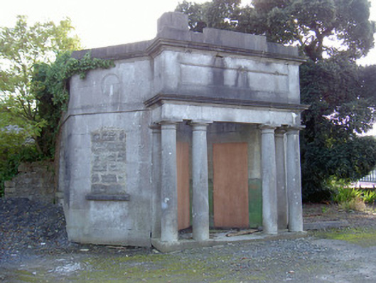 Sligo Cemeterygate lodge · 1054 yd
 Tobernalt Holy WellSpring · 1366 yd
 Tiffin's IslandWood · 1731 yd
 Strawberry treeStrawberry tree · 1.0 mi
 Bernard's IslandIslet · 1.0 mi
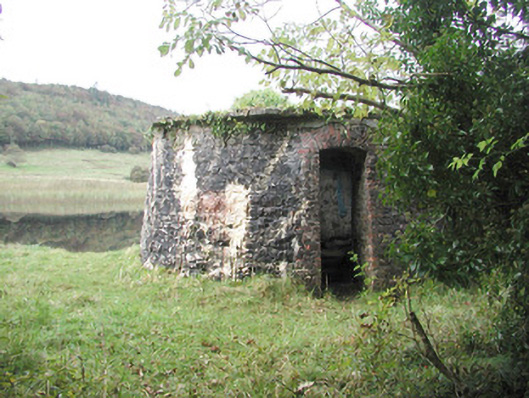 Hazelwood Housebuilding misc · 1.1 mi
 Green IslandIslet · 1.1 mi
 Aghamore BayBay · 1.2 mi
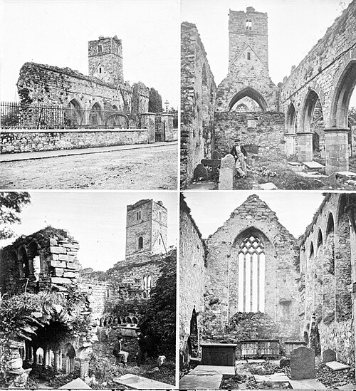 Sligo AbbeyMuseum · 1.5 mi
 St. John's CathedralMemorial · 1.5 mi