What is recorded here
Fairy fort / earthen ringfort in Tullig (clanmaurice By.) is a vanished circular enclosure, thirty-five metres across, whose bank resisted ploughs until humans levelled it in the 1960s and 1980s. The landowner recalled steps cutting through the north-west soil into two hidden chambers, suggesting the ring was never merely a boundary but an entrance. That much of the structure has disappeared does not diminish it; the surviving rise and remembered depth prove the earth was shaped for deliberate descent.
In tillage, on a steep NW-facing slope. Depicted on the 2nd ed. (1897-8) OS 6-inch map as a circular area (diam. c. 35m) enclosed by a bank. The enclosure was partially levelled in the early 1960s with the remaining portion levelled in the early 1980s. A low rise, tracing the line of the bank, can be traced along the SW arc. According to the landowner steps originally led down to two subterranean chambers in the NW quadrant of the interior suggesting the presence of a Man-made underground passage (KE022-004001-) here.
Compiled by: Matt Kelleher
Date of upload: 28 January 2014
A fairy fort or earthen ringfort in Tullig, Clanmaurice, is a likely early-medieval defensive or domestic site, indicated by its circular bank and enclosure. Local tradition associates such sites with fairy folklore, and they were often considered sacred or supernatural places in Irish tradition.
The monument record does not grant public access. Check the route and ask the landowner before entering private land.
- What survives
- Recorded monument
Places near here
 Enclosure in GlanballymaEnclosure · 1272 yd
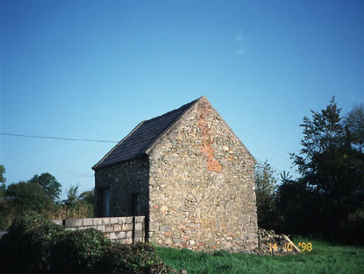 Crotta Housegate lodge · 1585 yd
 Church in Kilfeighny NorthChurch · 1.0 mi
 Enclosure in BallincraheenEnclosure · 1.2 mi
 Kilflynn Nature ReserveNature reserve · 1.7 mi
 CastleCastle, Anglo-Norman masonry castle · 2.7 mi
 Stack's MountainMountain / peak · 3.4 mi
 CruslineMountain / peak · 3.9 mi
 Ballymacaquinn Castle (remains of)Castle · 5.1 mi
 Tobar na MoltSpring · 6.4 mi
 Kerry Writers' MuseumMuseum · 7.2 mi
 Bryan MacMahonMemorial · 7.2 mi