What is recorded here
Fairy fort in Tullig, County Kerry, is a 46-metre earthen ring with a narrow fosse and a level pasture interior. It stands on a north-facing slope, partly hidden by vegetation but still clear enough to walk around. The shape suggests people once lived, worked or marked boundary there before the land became pasture again.
In pasture, on a N-facing slope. A roughly circular area (43m N-S; 46m E-W) enclosed by an earthen bank (int. H 1.45m; ext. H 1.6m) and fosse (Wth 2m; D 0.5m). The bank, which is largely obscured by vegetation cover, is best preserved at SSW where it reaches an external height of 2m. The fosse, best preserved SE-SW where it is heavily masked by briars, can be traced elsewhere as a slope into the external face of bank. Entrance (Wth 4.45m) at N. Largely level interior under pasture with a circular rise (diam. 8m; H 0.2m) c. 9.5m from bank at W.
Compiled by: Matt Kelleher
Date of upload: 28 January 2014
The monument record does not grant public access. Check the route and ask the landowner before entering private land.
- What survives
- Recorded monument
Places near here
 Enclosure in GlanballymaEnclosure · 1179 yd
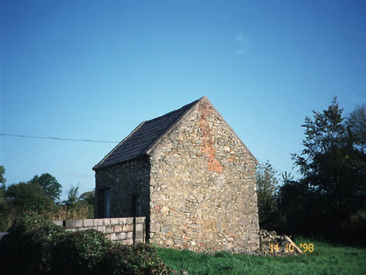 Crotta Housegate lodge · 1358 yd
 Skenapisha FortArchaeological place · 1.0 mi
 Church in Kilfeighny NorthChurch · 1.2 mi
 Kilflynn Nature ReserveNature reserve · 1.5 mi
 CastleCastle, Anglo-Norman masonry castle · 2.7 mi
 Stack's MountainMountain / peak · 3.3 mi
 CruslineMountain / peak · 3.8 mi
 Ballymacaquinn Castle (remains of)Castle · 4.9 mi
 Tobar na MoltSpring · 6.1 mi
 Kerry Writers' MuseumMuseum · 7.4 mi
 Bryan MacMahonMemorial · 7.4 mi