What is recorded here
Fairy fort in Trinity Island, County Cavan: a roughly triangular earthen ring, 37.8m by 22.6m, with a low bank and faint fosse, marked ‘Fort’ on the 1836 and 1876 maps. Davies found two pieces of iron slag inside, hinting at smithing or making rather than mere bordering. The island is now a huge conifer plantation, and the site was levelled before planting, so the fort survives only in measurement and memory.
Marked 'Fort' on OS 1836 and 1876 eds. and depicted as a semicircular enclosure extending from SW-N-NE, bordered by a linear field boundary from NE-S-SW. Davies (ITA Survey 1942) described the site as being roughly triangular (dims. 37.8m x 22.6m), enclosed by a low earthen bank and traces of a fosse. Davies also noted that 'two pieces of iron slag were found in the fort'. Trinity Island is now occupied by a huge plantation of coniferous trees. The site was levelled prior to tree planting (local information).
The above description is derived from the published 'Archaeological Inventory of County Cavan' (Dublin: Stationery Office, 1995). In certain instances the entries have been revised and updated in the light of recent research.
Date of upload/revision: 22 December 2008
The monument record does not grant public access. Check the route and ask the landowner before entering private land.
- What survives
- Recorded monument
Places near here
 Trinity Island WoodForest · 490 yd
 Cross in Trinity IslandCross · 634 yd
 Abbey FieldChurch · 1092 yd
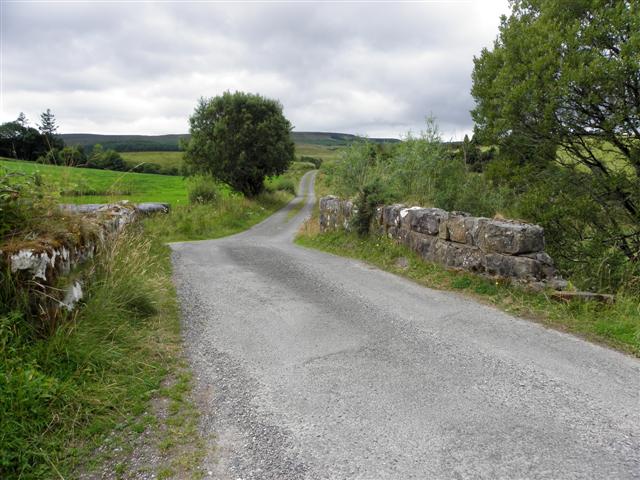 Derries UpperMountain / peak · 1677 yd
 IndicatedEnclosure · 1682 yd
 CaldraghChurch · 1.2 mi
 Inch IslandIslet · 1.3 mi
 Killykeen Forest ParkForest · 1.4 mi
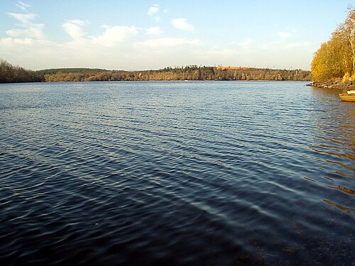 Lough OughterLake and island landscape · 1.4 mi
 Danesfort DemesneWood · 1.6 mi
 Woodenhouse BayBay · 1.6 mi
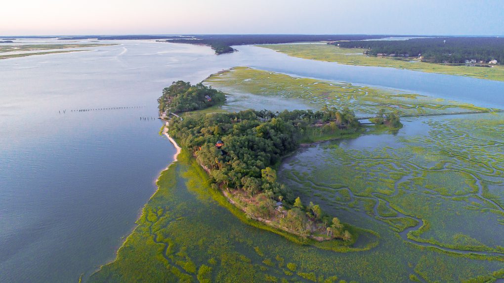 Buck IslandIslet · 1.8 mi