What is recorded here
Fairy forts and Irish ringforts are one and the same: circular embankments built by people, later renamed because the fairies sounded more likely to occupy an empty fort than humans would. In Towas the fort sat on a steep slope above the Kilmainham stream, large enough to hold a small community and visible far across the valley. It has mostly vanished now, leaving only a slight curve in a field bank and a name preserved on an old map. What remains is not a mystery of fairies but a record of forgetting: people stopped using it, stopped maintaining it, and told a better story about it instead.
Situated on a steep NE-facing slope overlooking the valley of the NW-SE Kilmainham stream, which is c. 330m distant. A circular embanked enclosure (ext. diam. c. 45-50m) is depicted only on the 1836 edition of the OS 6-inch map where it is described in gothic lettering as a ‘Fort’. There is no indication of an archaeological monument in pasture apart from a curve (Chord c. 35m) in a field bank at E.
The above description is derived from the published 'Archaeological Inventory of County Meath' (Dublin: Stationery Office, 1987). In certain instances the entries have been revised and updated in the light of recent research.
Compiled by: Michael Moore
Date of revision: 3 September 2018
The monument record does not grant public access. Check the route and ask the landowner before entering private land.
- What survives
- Recorded monument
Places near here
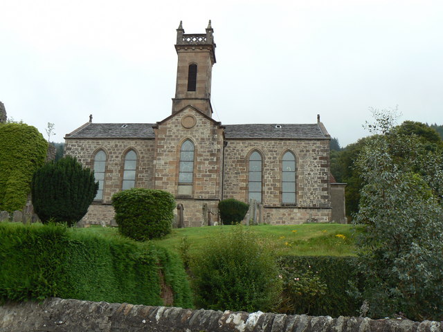 Site of Kilmainhamwood Parish ChurchArchaeological place · 762 yd
 Font in KilmainhamwoodFont · 780 yd
 presbytery/parochial/curate's housepresbytery/parochial/curate's house · 813 yd
 Catholic Church of the Sacred Heartchurch/chapel · 893 yd
 GNR Christmas TreesForest · 1.3 mi
 Miltown GlenWood · 1.5 mi
 Castkecome RuinsCastle, unclassified · 1.7 mi
 UghtyneillMountain / peak · 2.6 mi
 Gallows HillMountain / peak · 2.8 mi
 MoatCastle, motte and bailey · 3.3 mi
 Nobber GreenwayMemorial · 3.5 mi
 Owenroe and Moynalty DrainageMemorial · 4.3 mi