What is recorded here
No gate, no seam, no break in the bank. The fort is a closed circle at the foot of a slope, with a hidden water cut outside and grass growing across every angle. People may have lived there, feared there, or simply refused to enter it.
At the bottom of a SE-facing slope. Listed as 'Enclosure' in the SMR (1992) and the RMP (1996). A circular grass and scrub-covered area (diam. 22m E-W; 20.8m N-S) defined by an earthen bank (Wth of base 4-5m; int. H 0.6-0.7m; ext. H 0.8m at N to 1.7m at S) and an outer rounded fosse (at N: Wth of top 6m; D 0.4m to 1m at NE), which becomes a N-S stream NE-SE and which is not visible SE-SW. There is no visible entrance.
Compiled by: Michael Moore
Date of upload: 27 April 2016
The monument record does not grant public access. Check the route and ask the landowner before entering private land.
- What survives
- Recorded monument
Places near here
 CastleCastle, unclassified · 742 yd
 Font (present location) in BallynabinniaFont (present location) · 1040 yd
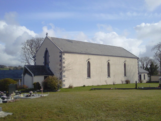 Saint Joseph's Catholic Churchchurch/chapel · 1046 yd
 Font in KilnamonaFont · 1228 yd
 Magowna CastleCastle · 1.2 mi
 Kilcross Church (in Ruins)Church · 1.6 mi
 Poul na gollorCave · 3.5 mi
 European ashEuropean ash · 3.8 mi
 Ballygriffy WoodWood · 3.8 mi
 Ennis AbbeyMuseum · 4.6 mi
 Clare MuseumMuseum · 4.6 mi
 Battle of TullyodeaBattlefield · 5.0 mi