What is recorded here
Tooreen East holds a forty-metre earthen ring on a south-facing slope, standing beside a larger bivallate fort rather than hiding in pasture. The low bank and possible fosse suggest humans shaped the land before fairy tales claimed it. That much is visible. The rest belongs to imagination, memory and the life that no longer stands there.
On a S-facing slope in pasture. A circular area (diam. c. 40m) defined by a low bank and possible fosse. Visible on Google Earth (Imagery date: 19 Jan 2020). A bivallate ringfort (CL025-177----) lies c. 170m to the NNW.
Compiled by: Mary Tunney
Date of upload: 12 July 2023
The monument record does not grant public access. Check the route and ask the landowner before entering private land.
- What survives
- Recorded monument
Places near here
 CaherbannaghFairy fort / stone ringfort · 809 yd
 CastleCastle, unclassified · 1354 yd
 Magowna CastleCastle · 1397 yd
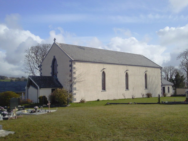 Saint Joseph's Catholic Churchchurch/chapel · 1430 yd
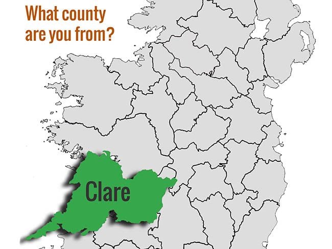 Font (present location) in BallynabinniaFont (present location) · 1432 yd
 Kilcross Church (in Ruins)Church · 1.2 mi
 Poul na gollorCave · 3.4 mi
 Ballygriffy WoodWood · 3.4 mi
 European ashEuropean ash · 4.1 mi
 Ennis AbbeyMuseum · 4.3 mi
 Clare MuseumMuseum · 4.3 mi
 Battle of TullyodeaBattlefield · 4.7 mi