What is recorded here
Half a fairy fort in Toon, County Kerry. A modern road cut through the middle and took the east side with it. The west bank still stands one point six metres high, earth wrapped around a stone core, with a narrow gap at the south west where a upright slab marks the entrance. What lives in the missing half is gone, but the part that remained behind is still strong enough to show the shape of the whole.
This site, bisected roughly NW-SE by a modern road, is located on gently sloping land W of Teermoyle mountain. No surface trace of the E half of the site survives. At W the enclosing bank has an external height of 1.6m and falls 1m to the interior. Composed of earth with a stone core, it averages 1.5m wide. An eroded and ill-defined entrance gap, 2.7m wide, occurs at SW and is flanked on its W side by the 'Gallaun' marked on the second edition of the OS map. This upright slab probably functioned as an entrance portal; it stands .86m high and is .33m wide and .12m thick. A low, stony, grass-grown mound is located in the N quadrant of the rath's interior and may represent debris connected with the construction of the road.
The above description is derived from A. O'Sullivan and J. Sheehan (compilers), 'The Iveragh peninsula: an archaeological survey of South Kerry'. Cork University Press (1996), no. 550. In certain instances the entries have been revised and updated in the light of recent research.
Date of upload: 29 July 2013
The monument record does not grant public access. Check the route and ask the landowner before entering private land.
- What survives
- Recorded monument
Places near here
 Church in CaherlehillanChurch · 1107 yd
 IndicatedFairy fort / earthen ringfort · 1434 yd
 Field system in Coulagh,teeromoyleField system · 1560 yd
 CaunogeMountain / peak · 2.0 mi
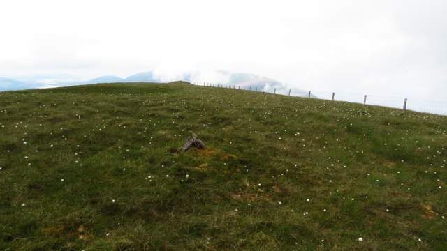 Been HillMountain / peak · 2.2 mi
 Killinane Church (in ruins)Church · 2.9 mi
 Short Castle (Site of)Castle, unclassified · 2.9 mi
 Soft Tree-fernSoft Tree-fern · 3.1 mi
 Chilean wine palmChilean wine palm · 3.1 mi
 Kells BeachBeach / strand · 3.3 mi
 Sheep Dog TrainingHeritage attraction · 3.7 mi
 FeaklecallyHeadland · 4.5 mi