What is recorded here
Magic and life both leave marks on the land. Some places still feel like they are waiting for attention, not for belief. They show up in dreams, memory and the shape of what can be imagined together.
Situated towards the top of the E-facing slope of drumlin overlooking Tonyscallan or Dernaglug Lough to the SE. This is a circular grass and scrub-covered area sloping down to the SE which is defined by a large earthen bank (at NNE: Wth of base 4.4m; int. H 0.4m; ext. H 2.6m) and an outer fosse that has probably been re-cut W-N, but the perimeter is largely reduced to a scarp, stone-faced in places, elsewhere. There is an entrance (Wth of base 2.2m) at WNW. A depression (L 16m; Wth 3.4m; D 1.3m) inside the bank at SW is probably a quarry with spoil on its inner edge.
The above description is derived from the published 'Archaeological Inventory of County Monaghan' (Dublin: Stationery Office, 1986). In certain instances the entries have been revised and updated in the light of recent research.
Revised by: Michael Moore
Date of revision: 22 June 2018
The monument record does not grant public access. Check the route and ask the landowner before entering private land.
- What survives
- Recorded monument
Places near here
 Giants GraveWedge tomb · 804 yd
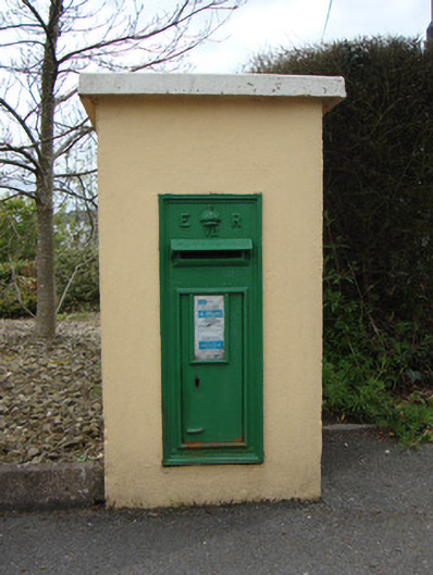 post boxpost box · 993 yd
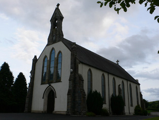 All Saints' Catholic Churchchurch/chapel · 1071 yd
 Man-made underground passage in RauskerMan-made underground passage · 1182 yd
 Fort HillWood · 1.3 mi
 Laragh WoodForest · 2.1 mi
 The CrescentMemorial · 3.8 mi
 John Francis GreenMemorial · 4.2 mi
 Bawn in OnomyBawn · 4.5 mi
 Blaney CastleCastle · 4.5 mi
 IllanshivansIslet · 4.6 mi
 Lough Egish IslandIslet · 4.7 mi