What is recorded here
Located on a small S-N spur. A circular feature (diam. c. 30m) defined by what might be a single fosse feature is visible on vertical aerial photographs (GSIAP S 196/197). It is not visible at ground level in pasture.
Compiled by: Michael Moore
Date of upload: 29 January, 2013
Amended: 1 May, 2014
The monument record does not grant public access. Check the route and ask the landowner before entering private land.
- What survives
- Recorded monument
Places near here
 Costello's Bridgebridge · 624 yd
 Tinnock RockNamed rock · 681 yd
 Tinnock Bridgebridge · 778 yd
 Castle (in ruins)Castle, unclassified · 1101 yd
 Campile WWII Bombing MemorialMemorial · 1387 yd
 Mass Stone (Site of)Mass-rock · 1408 yd
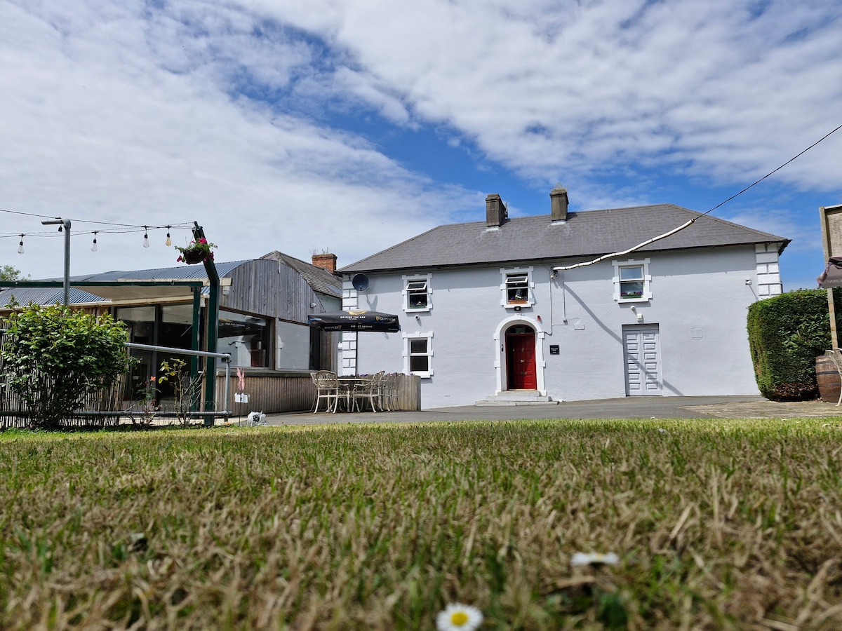 Embanked enclosureFairy fort / earthen ringfort · 1.2 mi
 Dunbrody Abbey Visitor CentreHeritage attraction · 1.5 mi
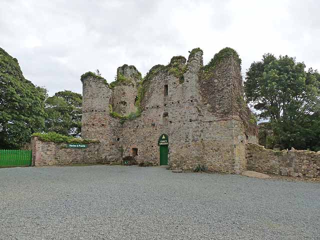 Dunbrody CastleCastle · 1.5 mi
 Dunbrody Abbey Hedge MazeHeritage attraction · 1.5 mi
 Arboretum MapVisitor information · 1.6 mi
 Silver WattleSilver Wattle · 1.7 mi