What is recorded here
Fairy fort in Tievemore, County Galway: a subcircular earth-and-stone ring on the east side of Maumfin hill, facing Ballynakill Harbour and the Twelve Bens. Its bank stands about two metres high and encloses roughly twenty metres of interior, with a faint fosse still visible at the southwest. People may have kept animals, hidden during trouble, or simply marked a boundary between fields and sky. The fairies, according to local story, never left; they only stopped answering questions.
In an area of pastureland and gorse on the E side of Maumfin hill with panoramic views of Ballynakill Harbour and the Twelve Bens to the E. This roughly subcircular enclosure (int. diam. 20m; ext. diam. 30m) is defined by a substantial bank of earth and stone (Wth at top 2m; max. H 2m at SW) and traces of a fosse at SW. The monument was brought to the attention of the Archaeological Survey of Ireland by Helen Riekstiņš.
Compiled by: Olive Alcock with information supplied by Helen Riekstiņš
Updated by: Olive Alcock
Date of revised upload: 7 February 2018
The monument record does not grant public access. Check the route and ask the landowner before entering private land.
- What survives
- Recorded monument
Places near here
 St. Canannaghs WellHoly well · 623 yd
 R.C. ChapelChapel · 762 yd
 DerrylahanMountain / peak · 991 yd
 Ballynakill ChurchChurch · 1032 yd
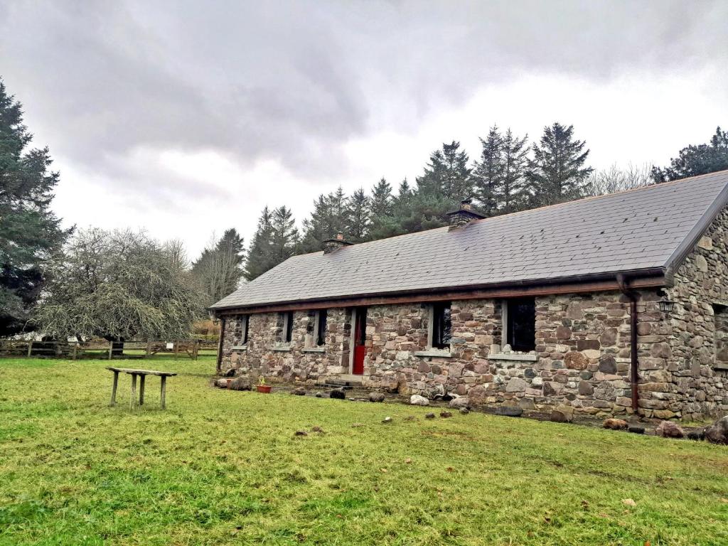 Enclosure in Tooreen (ballynahinch By., Ballynakill Par.)Enclosure · 1216 yd
 Freaghillaun SouthMountain / peak · 1.4 mi
 GlassillaunIslet · 1.4 mi
 RoeillaunIslet · 1.5 mi
 Rinvyle Castle (in ruins)Castle, tower house · 3.3 mi
 Renvyle CastleCastle · 3.3 mi
 Connemara National Park Visitor CentreHeritage attraction · 3.4 mi
 Connemara National ParkNational park · 3.4 mi