What is recorded here
Fairy forts in Templemary are earthen rings, not magical palaces. The local name may reflect awe, fear, or dismissal of ordinary human activity. In this case the ring is a saucer-shaped pasture mark, thirty-three metres across, with a low scarp and no standing wall. That gap between name and shape is the interesting part.
In pasture, on gentle SE-facing slope. Depicted as hachured circular raised area on 1905 and 1937 OS 6-inch maps. Circular, slightly raised, saucer-shaped area (33.6m E-W) defined by scarp (max. H 0.6m).
The above description is derived from the published 'Archaeological Inventory of County Cork. Volume 4: North Cork' (Dublin: Stationery Office, 2000). In certain instances the entries have been revised and updated in the light of recent research.
Date of upload/revision: 14 January 2009
The monument record does not grant public access. Check the route and ask the landowner before entering private land.
- What survives
- Recorded monument
Places near here
 Lady's WellSpring · 730 yd
 Ladys WellHoly well · 743 yd
 Lisgriffin CastleCastle · 918 yd
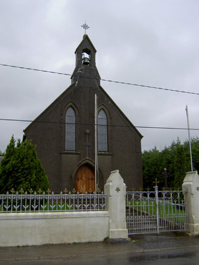 Saint Mary's Churchchurch/chapel · 1108 yd
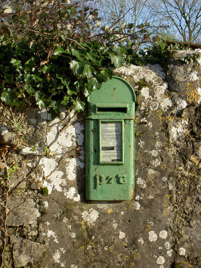 post boxpost box · 1333 yd
 Enclosure in Gurteenroe (orrery and Kilmore By.)Enclosure · 1714 yd
 CarrigadoonCastle, unclassified · 1.4 mi
 Churchtown TrailsVisitor information · 1.6 mi
 Battle of LiscarrollMajor battlefield · 2.8 mi
 Charles BunworthMemorial · 3.6 mi
 David HurleyMemorial · 3.6 mi
 SycamoreSycamore · 3.6 mi