What is recorded here
Templeglentan West once held a twenty-metre earthen ring on a north-west slope, visible on the 1841 map but now erased from the pasture. The land swallowed the fort, perhaps through ploughing or neglect, leaving no ridge, ditch or memory mark behind. What was built, shaped and lived around has vanished so completely that even the soil forgets its outline.
In pasture, on NW-facing slope. Monument, depicted as embanked circular enclosure (diam. c. 20m) on 1841 OS 6-inch map, has been levelled. No trace of monument evident when inspected.
Compiled by: Denis Power
Date of upload: 26 August 2011
The monument record does not grant public access. Check the route and ask the landowner before entering private land.
- What survives
- Recorded monument
Places near here
 Templeglentan Church (in ruins)Church · 919 yd
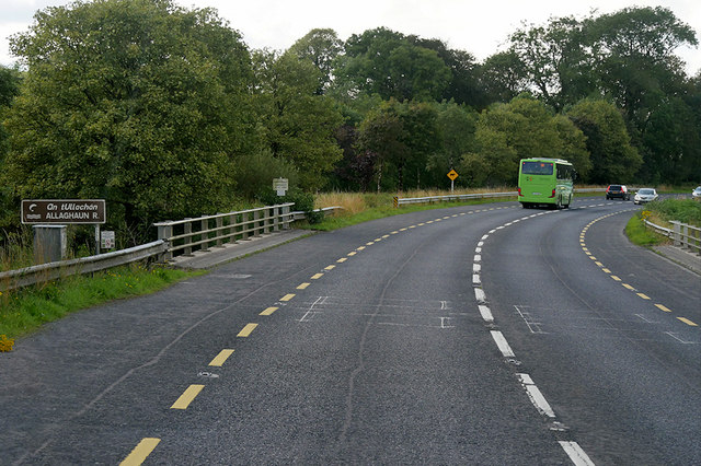 Goulburn Bridgebridge · 1398 yd
 Barnagh HillMountain / peak · 1572 yd
 BarrowBarrow, ring-barrow · 1.9 mi
 TobereenalaffinaSpring · 2.2 mi
 Fulacht fia in Caher (lane)Fulacht fia · 3.3 mi
 Glenquin CastleCastle · 4.1 mi
 Sugar HillMountain / peak · 4.4 mi
 Purt CastleCastle · 5.1 mi
 Three CountiesPicnic place · 5.5 mi
 Saint Ite's WellSpring · 5.6 mi
 Mullaghareirk - Banane LoopWalking route · 7.9 mi