What is recorded here
Fairy fort in Tead More, County Cork: a 39-metre earthen ring on a south-facing slope, now broken by tillage. The bank still stands 1.7 metres high around a shallow fosse, marking a place where people once drew a circle and kept it clean. Farmers may have passed it for centuries, casting seeds around its edge or pulling carts through its gap. The fort does not need a name to be real; it is a ring of earth that resisted forgetting.
In tillage, on S-facing slope. Circular area (39m N-S) enclosed by earthen bank (H 1.7m) with shallow fosse.
The above description is derived from the published 'Archaeological Inventory of County Cork. Volume 2: East and South Cork' (Dublin: Stationery Office, 1994). In certain instances the entries have been revised and updated in the light of recent research.
Date of upload/revision: 14 January 2009
The monument record does not grant public access. Check the route and ask the landowner before entering private land.
- What survives
- Recorded monument
Places near here
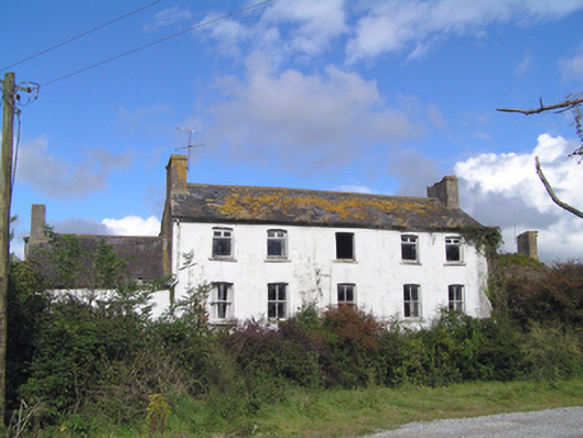 Kilbree Housecountry house · 1408 yd
 IndicatedKiln, lime · 1603 yd
 Man-made underground passage in Gearagh (imokilly By.)Man-made underground passage · 1685 yd
 Burial in CoppingerstownBurial · 1.0 mi
 Castle (in Ruins)Castle, tower house · 1.1 mi
 Ballintotis CastleCastle · 1.5 mi
 Edward BransfieldMemorial · 1.9 mi
 N25 Picnic SitePicnic place · 2.2 mi
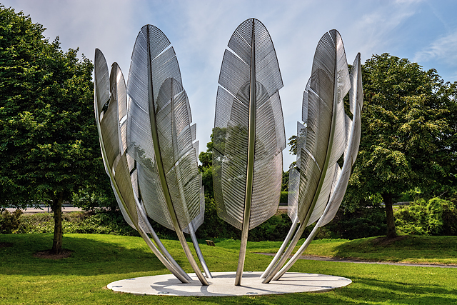 Kindred SpiritsMemorial · 2.5 mi
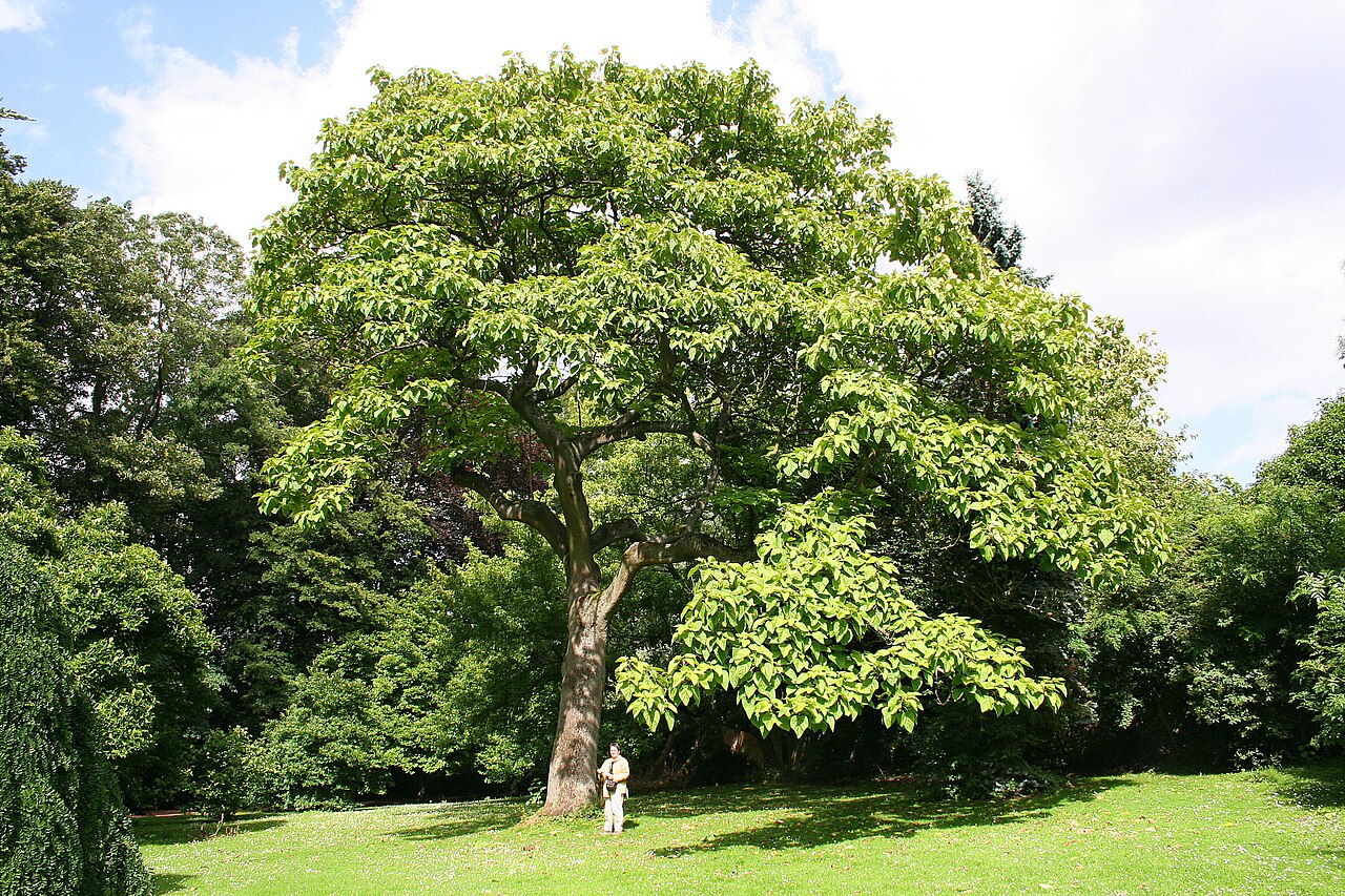 PrincesstreePrincesstree · 2.5 mi
 PohutukawaPohutukawa · 2.5 mi
 Jameson Distillery MidletonHeritage attraction · 2.5 mi