What is recorded here
Fairy fort in Tattyboy, County Monaghan: a raised circular grass and scrub-covered platform, 27m NW-SE and 25m NE-SW, bounded by a stone-faced scarp, with rock exposed at NE and no visible entrance. People may have stood inside it, looked out over the gentle slope, and marked the boundary between home and wild land. The fairies in the name suggest that humans also believed the place belonged to another kind of witness.
Situated on a rise on a gentle S-facing slope. This is a raised circular grass and scrub-covered platform (diam. 27m NW-SE; 25m NE-SW) defined by a stone-faced scarp (at NW: H 0.8m; at SE: Wth 4m; H 2.4m), with rock exposed at NE. There is no visible fosse or entrance. The interior has become overgrown since 1967.
The above description is derived from the published 'Archaeological Inventory of County Monaghan' (Dublin: Stationery Office, 1986). In certain instances the entries have been revised and updated in the light of recent research.
Date of revision: 28 August 2017
The monument record does not grant public access. Check the route and ask the landowner before entering private land.
- What survives
- Recorded monument
Places near here
 IndicatedFairy fort / ringfort · 202 yd
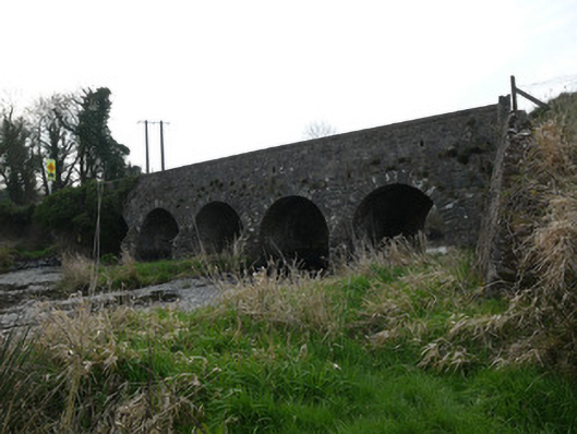 Magoney Bridgebridge · 910 yd
 bridgebridge · 1240 yd
 Enclosure in ColgaghEnclosure · 1505 yd
 Mannan Castle (in ruins)Castle, Anglo-Norman masonry castle · 3.5 mi
 KnockreaghMountain / peak · 3.8 mi
 CastleCastle, unclassified · 4.2 mi
 TobernagalliaghSpring · 4.5 mi
 Battle of Newry Roadbattle · 4.5 mi
 MEDIEVAL & POST-MED. CHURCH & GRAVEYARD in Creggan Bane GlebeMEDIEVAL & POST-MED. CHURCH & GRAVEYARD · 4.6 mi
 Horse-chestnutHorse-chestnut · 5.5 mi
 Ballsmill Amenity LandPicnic place · 5.7 mi