What is recorded here
No entrance and no ditch are visible, only a grassy ring standing at the east end of a ridge where an old lane cut through the bank. People may have lived inside, farmed around it, or simply avoided the place because it belonged to someone else. The fort keeps that boundary intact: a circle of earth large enough to hold a household and quiet enough to hide one.
Situated at the E end of an E-W drumlin ridge. This is a grass and rush-covered subcircular platform (int. dims 22.5m E-W; 19m N-S) defined by a grass-covered earthen bank (Wth 2.5-4m; int. H 0.05m; ext. H 0.5m at W to 1.3m at N). There is no visible fosse or entrance and the monument is slightly truncated by an old NW-SE laneway at E.
The above description is derived from 'The Archaeological Inventory of County Leitrim' compiled by Michael J. Moore (Dublin: Stationery Office, 2003). In certain instances the entries have been revised and updated in the light of recent research.
Date of upload: 23 September 2008
The monument record does not grant public access. Check the route and ask the landowner before entering private land.
- What survives
- Recorded monument
Places near here
 Sweat Ho.Sweathouse · 401 yd
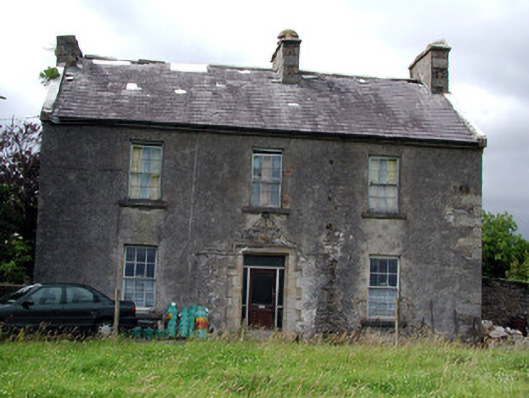 Drumkeel Housefarm house · 1081 yd
 Enclosure in BelhavelEnclosure · 1.2 mi
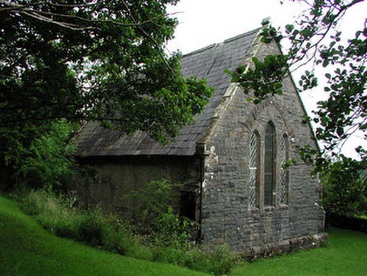 Creevelea Presbyterian Churchchurch/chapel · 1.5 mi
 Old HallCastle, hall-house · 4.0 mi
 Green IslandIslet · 4.1 mi
 Carrane HillCliff · 4.5 mi
 MoteCastle, motte · 5.2 mi
 Drummans IslandIslet · 5.5 mi
 European ashEuropean ash · 6.1 mi
 Black PoplarBlack Poplar · 6.1 mi
 Scardan WaterfallWaterfall · 6.1 mi