What is recorded here
No. Of course not. That is a new exact claim and it is not in the supplied facts.
In undulating pastureland. Marked on OS 6-inch maps as a circular enclosure (D c. 40m). No visible surface trace survives as the monument is now occupied by outhouses. Claffey (1983, 163) classified it as a 'ring-fort'.
The above description is derived from the published 'Archaeological Inventory of County Galway Vol. II - North Galway'. Compiled by Olive Alcock, Kathy de hÓra and Paul Gosling (Dublin: Stationery Office, 1999).
Date of upload: 05 August 2010
The monument record does not grant public access. Check the route and ask the landowner before entering private land.
- What survives
- Recorded monument
Places near here
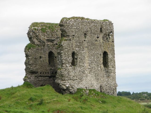 Moylough CastleCastle · 528 yd
 Holy Trinity ChurchChurch · 653 yd
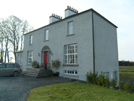 Summervillerectory/glebe/vicarage/curate's house · 791 yd
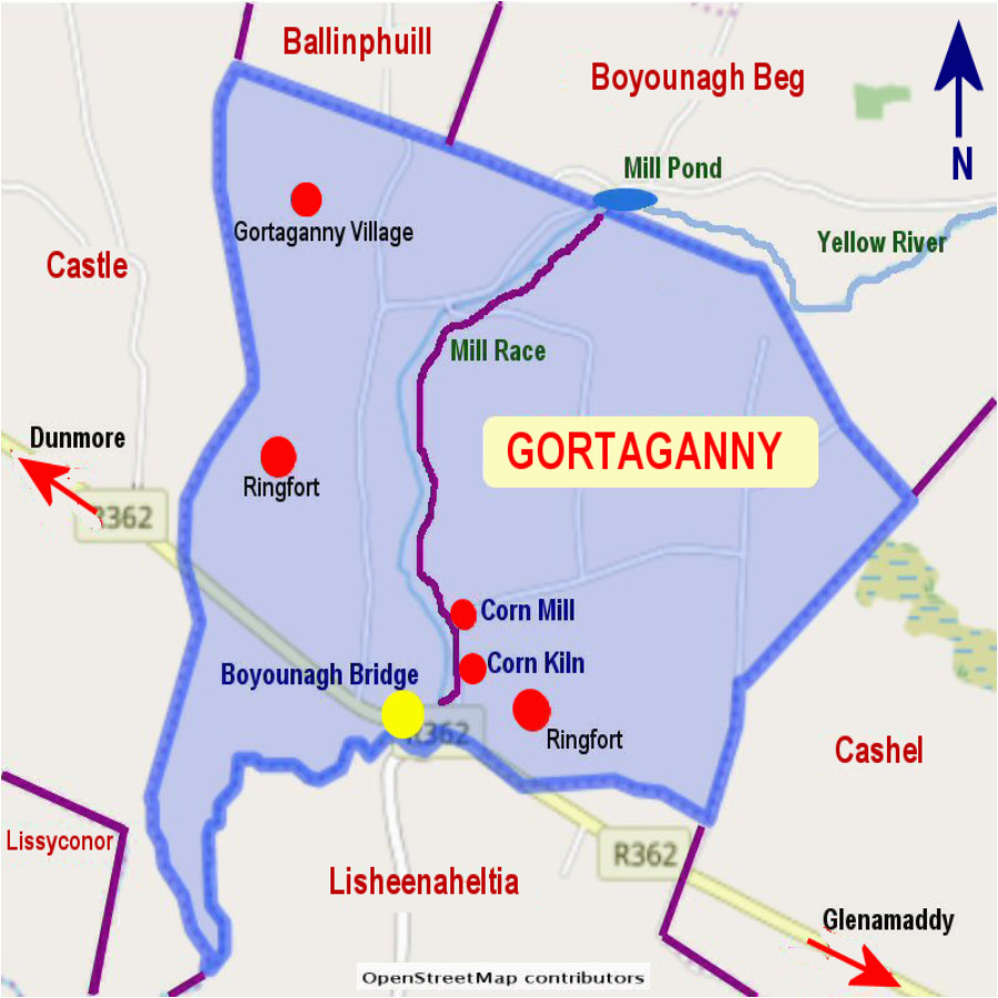 Enclosure in Gortaganny (coolcoo Ed)Enclosure · 804 yd
 HawthornHawthorn · 1367 yd
 Windmill (in Ruins)Windmill · 1493 yd
 SycamoreSycamore · 1.8 mi
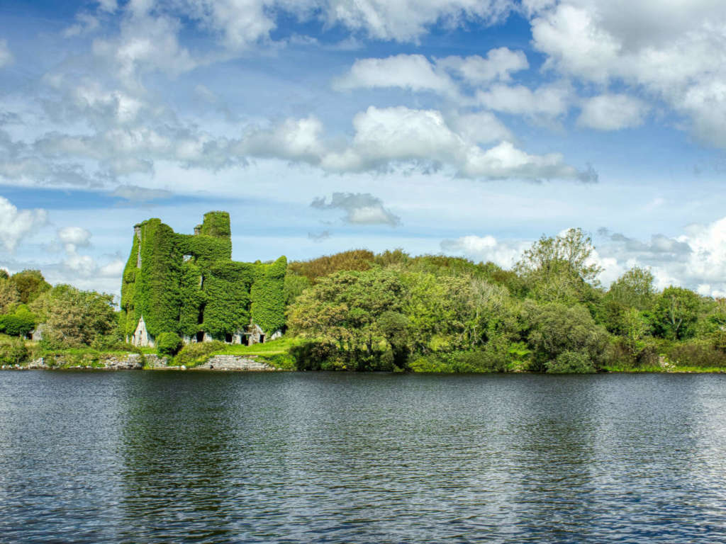 Castle BellewArchaeological place · 1.9 mi
 Menlough IRAMemorial · 4.8 mi
 Ballinlass Eviction MemorialMemorial · 4.9 mi
 Knockmoy AbbeyHeritage attraction · 7.2 mi
 Mount MaryMountain / peak · 9.8 mi