What is recorded here
Half a metre of earth and stone still circles a pasture ridge in Sranaviddoge, marking a forgotten human threshold where soil, memory and imagination meet. The shallow ditch has filled, the bank has softened, and the fort has become a fairy fort in local thought. What was once a made boundary has become a living one, visible only when attention returns.
In pasture, on NE-SW ridge. Roughly circular area (29.4m N-S; 28.4m E-W) defined by low earth and stone bank (H 0.5m) N->WSW; traces of silted up fosse to NE and SW. (CMSS).
The above description is derived from the published 'Archaeological Inventory of County Cork. Volume 1: West Cork' (Dublin: Stationery Office, 1992). In certain instances the entries have been revised and updated in the light of recent research.
Date of upload/revision: 14 January 2009
The monument record does not grant public access. Check the route and ask the landowner before entering private land.
- What survives
- Recorded monument
Places near here
 Burnt mound in DromavaneBurnt mound · 889 yd
 Holy Well or Murragh WellHoly well · 950 yd
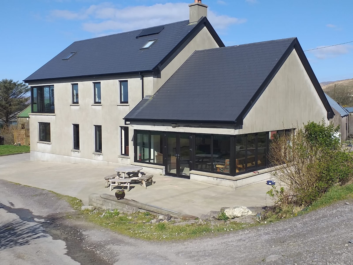 Killaneer HouseRuins · 1215 yd
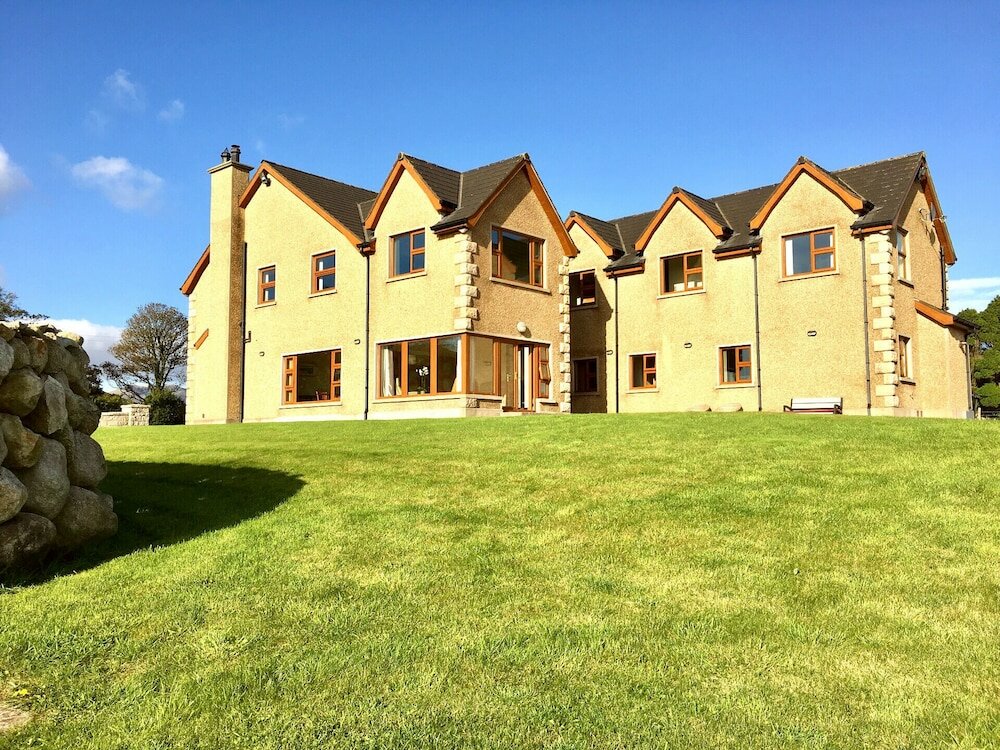 Country house in KillaneerCountry house · 1224 yd
 Tobar MacloonaboySpring · 2.7 mi
 Green HillMountain / peak · 3.2 mi
 The GlenWood · 3.5 mi
 Towers (in Ruins)House, fortified house · 3.7 mi
 Castle DerryCastle · 3.7 mi
 Michael Collins MemorialMemorial · 4.2 mi
 Cottage Road WoodWood · 4.6 mi
 Castle RockNamed rock · 4.7 mi