What is recorded here
No visible fort remains at Ballysheen, though the name still claims the land as the homestead of Oisín. The circular earthwork has been absorbed into an ordinary field bank, reducing a complete enclosure to a hidden curve beneath grass and habit. What looked like nothing may have been a whole life, shaped and remembered until forgetting made it disappear.
Ballysheen/Baile Oisín (homestead of Oisín (personal name)). This site is marked on the 1841-42 OS map as a complete circular enclosure, but only a tiny portion appears on the later edition 1915-16 OS map. All that remains of this univallate ringfort is the enclosing bank to the N through W to S, and this is because it has been incorporated into the fieldbank. A bohareen runs immediately to the E of the surviving bank. The enclosing bank is 1.1m high externally and 1.9m high internally.
The above description is derived from C. Toal, ‘North Kerry Archaeological Survey’. Dingle. Brandon in association with FAS Training and Employment Authority (1995), no. 373. In certain instances the entries have been revised and updated in the light of recent research.
Date of upload: 2 August 2013
The monument record does not grant public access. Check the route and ask the landowner before entering private land.
- What survives
- Recorded monument
Places near here
 Rattoo Church (in ruins)Church · 1060 yd
 Round TowerRound tower · 1075 yd
 Font in RattooFont · 1077 yd
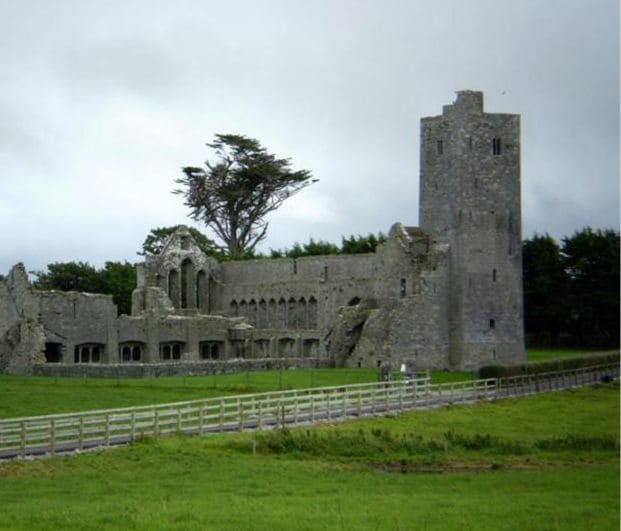 Abbey (in ruins)Religious house, Augustinian canons · 1241 yd
 CastleCastle, Anglo-Norman masonry castle · 2.5 mi
 Clashmealcon CavesCave · 4.0 mi
 Crazy GolfHeritage attraction · 4.2 mi
 Long StrandBeach / strand · 4.5 mi
 Pierce's IslandIslet · 4.6 mi
 Ballymacaquinn Castle (remains of)Castle · 4.8 mi
 PulleenIslet · 5.4 mi
 Men's BeachBeach / strand · 5.4 mi