What is recorded here
Fairy fort in Shrulegrove, County Galway: a subcircular earthen ringfort on a rise above low grassland, with two banks, a fosse between them, and a stone-lined entrance gap at the south. The outer bank survives only from south to west-northwest, as if the field took back part of the shape. People may have lived there, marked territory there, or abandoned it when the land changed; the stones at the entrance still suggest a door made for bodies, not fantasy.
On the top of a rise in otherwise low-lying grassland. Subcircular ringfort (N-S 29.3m, E-W 24.5m), in fair condition, defined by two banks and an intervening fosse. The outer bank only survives from S to WNW. Well-preserved stone-lined entrance gap (Wth 1.85m) at S.
The above description is derived from the published 'Archaeological Inventory of County Galway Vol. II - North Galway'. Compiled by Olive Alcock, Kathy de hÓra and Paul Gosling (Dublin: Stationery Office, 1999).
Date of upload: 05 August 2010
The monument record does not grant public access. Check the route and ask the landowner before entering private land.
- What survives
- Recorded monument
Places near here
 Ralusk FortsFairy fort / earthen ringfort · 662 yd
 Caherhebrick FortFairy fort / stone ringfort · 687 yd
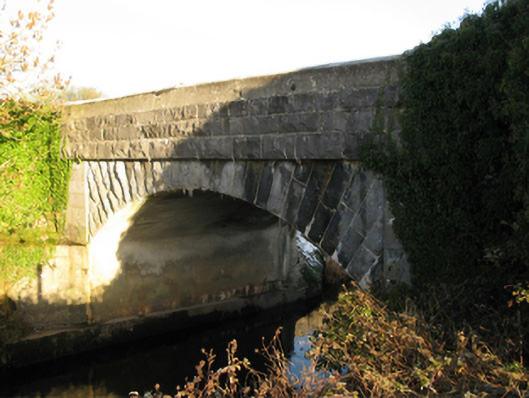 Shrule Bridgebridge · 842 yd
 Shrule Castle in ruinsCastle, hall-house · 881 yd
 Shrule CastleCastle · 885 yd
 Shrule Housestore/warehouse · 914 yd
 Pesooge PlantationForest · 1.2 mi
 Cregg PlantationForest · 1.3 mi
 Ross Errilly FriaryHeritage attraction · 3.5 mi
 Otter IslandIslet · 6.9 mi
 Walsh's IslandIslet · 6.9 mi
 School of FalconryHeritage attraction · 9.0 mi