What is recorded here
Fairy fort in Shigaunagh, County Galway: a 49 m earthen ring in level farmland, still whole enough to show its parts. A diagonal bank splits the inside into two heights, the southeast side dropping 1.2 m below the northwest, while a 3 m gap at the northeast may be the old entrance. People may have lived there, herded there, or simply walked past it after dark, believing the fairies had taken the house but leaving the wall behind.
In level farmland. Well-preserved roughly circular rath (diam. 49m) defined by a bank of earth and stone. A bank running through the interior from roughly NE to SW divides the monument into two distinct levels, that to the SE being 1.2m lower than that to the NW. A gap (Wth 3m) at ENE may be original. On inspection in 1974 Wheeler (SMR file) noted the presence of a fosse and slight traces of an outer bank at S; no visible surface trace of these features survives.
Compiled by: Galway Archaeological Survey, UCG
Date of upload: 18 June 2019
The monument record does not grant public access. Check the route and ask the landowner before entering private land.
- What survives
- Recorded monument
Places near here
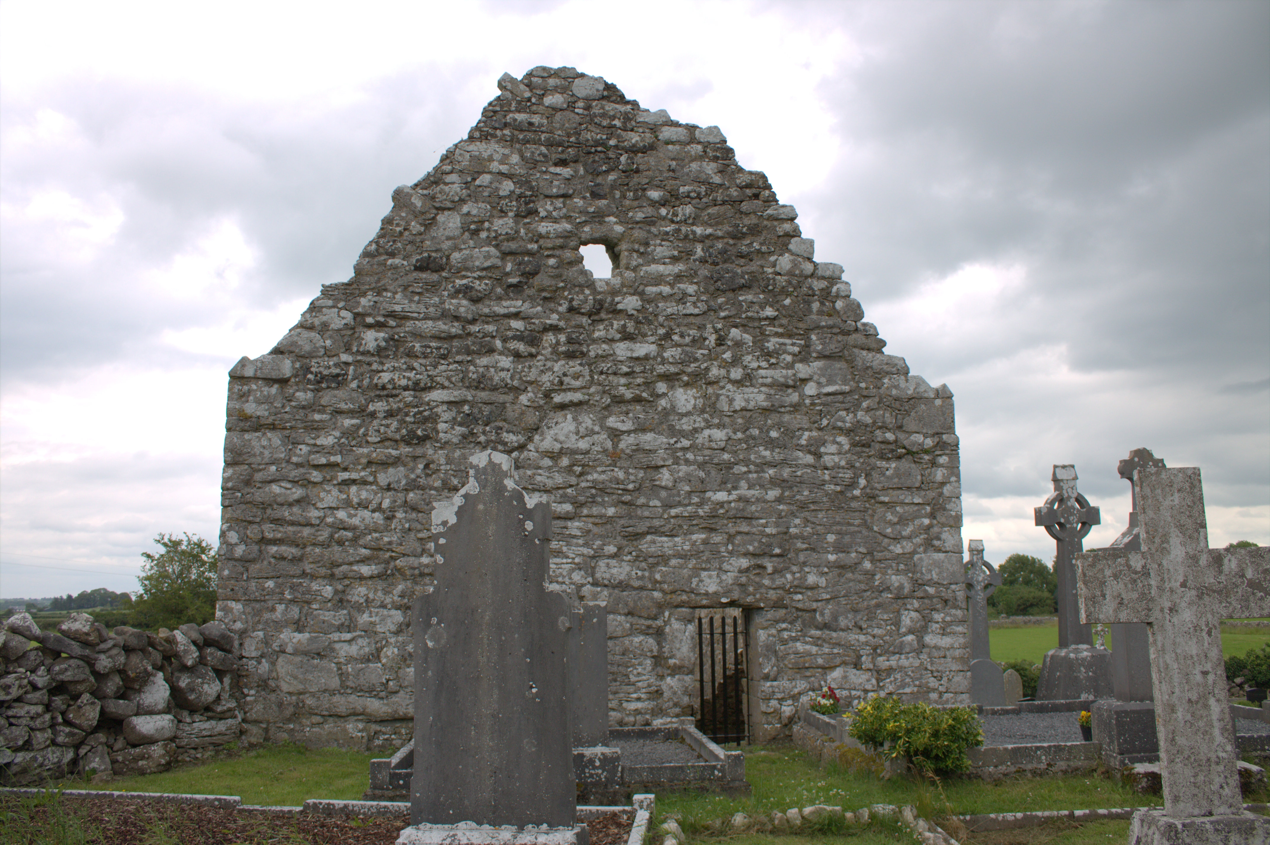 Killomoran Church (in ruins)Church · 811 yd
 Mine in CaherglassaunMine · 1065 yd
 Enclosure in CaherglassaunEnclosure · 1319 yd
 Castle in ruinsCastle, unclassified · 1374 yd
 IndicatedFairy fort / earthen ringfort · 1418 yd
 Coole-Garryland Nature ReserveNature reserve · 1.5 mi
 Coole ParkWood · 2.1 mi
 Cahererillan CastleCastle · 2.3 mi
 Kilmacduagh Monastic SiteVisitor information · 3.3 mi
 Kilmacduagh MonasteryHeritage attraction · 3.3 mi
 Grave of Saint Mac Duagh's ServantArchaeological place · 4.5 mi
 Mulroney's IslandIslet · 4.6 mi