What is recorded here
Fairy fort / earthen ringfort in Sheerevagh is a fairy fort or earthen ringfort in Sheerevagh, County Sligo, Ireland. The D-shaped enclosure measures about eleven metres from northeast to southwest, with its eastern half cut into the gentle west-facing slope. A field boundary and road form the straight southwest edge, while a short earthen bank and stone-faced scarp define the remaining perimeter. A semicircular hollow about twelve metres across lies to the southeast.
In pasture, on the gentle W-facing slope of a low rise. A D-shaped area (dims. c. 11m NE-SW), the E half of which is cut into the slope. The interior is defined on the straight SW side (L 22m NW-SE) by a field boundary and a road, by a short section of earthen bank (Wth 2m; int. H 0.8m; ext. H 1m) at SE and elsewhere by a stone-faced rising scarp (H 1.5m). Described by Prof. R. A. S. Macalister in 1911, in an unpublished report, as a 'dilapidated fort cut through by the road' (SMR (1989) file). There is a semicircular hollow (diam. c. 12m) to SE.
The above description is derived from the published 'Archaeological Inventory of County Sligo' compiled by Ursula Egan, Elizabeth Byrne, Mary Sleeman with Sheila Ronan and Connie Murphy (Dublin Stationery Office, 2005).
Date of upload: 18 January 2008
The monument record does not grant public access. Check the route and ask the landowner before entering private land.
- What survives
- Recorded monument
Places near here
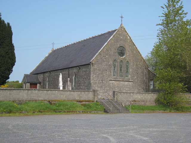 Saint Patrick's Catholic Churchchurch/chapel · 124 yd
 LisrisisFairy fort / earthen ringfort · 251 yd
 Indicated (1838).Enclosure · 816 yd
 Castlebaldwincastle/fortified house · 1335 yd
 Castle BaldwinCastle · 1335 yd
 Bricklieve Castle (in Ruins)Castle, unclassified · 1.5 mi
 Annaghgowla IslandIslet · 1.7 mi
 InishmoreIslet · 2.2 mi
 Bricklieve MountainsMountain / peak · 2.4 mi
 Treanscrabbagh caveCave · 2.5 mi
 School CaveCave · 2.7 mi
 Riverstown Folk ParkHeritage attraction · 2.9 mi