What is recorded here
Fairy fort / earthen ringfort in Sheerevagh is a fairy fort or earthen ringfort in Sheerevagh, County Sligo, Ireland. It occupies the top of a west-facing slope on a low ridge. A thirty-two-metre circular area sits inside a six-point-five-metre bank, while a four-metre ditch runs outside that bank. Remains of a second outer bank appear along the south-west and west edges, built against the natural break of slope.
In pasture, at the top of the W-facing slope of a low ridge. A raised circular area (diam. 32m) enclosed by a bank (Wth 6.5m; int. H 1m; ext. H 1.5m) with an external fosse (Wth 4m; D 0.4m) evident as a band of rough vegetation. The remains of an outer bank (Wth 3.6m; int. H 1m; ext. H 1.1m) are evident SSW-W, built along the break of slope. A ramp-like feature, between the inner and outer bank along the SW arc, may be associated with the possible entrance (Wth 2m) in the inner bank at SSW. The interior is level with rock outcrop exposed in the NW quadrant and a possible Man-made underground passage (SL034-178002-) in the SE quadrant. The interior is filled with field clearance material and overgrown with brambles. Another rath (SL034-177----) lies c. 30m to NW.
The above description is derived from the published 'Archaeological Inventory of County Sligo' compiled by Ursula Egan, Elizabeth Byrne, Mary Sleeman with Sheila Ronan and Connie Murphy (Dublin Stationery Office, 2005).
Date of upload: 18 January 2008
The monument record does not grant public access. Check the route and ask the landowner before entering private land.
- What survives
- Recorded monument
Places near here
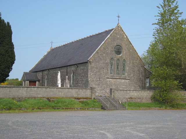 Saint Patrick's Catholic Churchchurch/chapel · 303 yd
 LisrisisFairy fort / earthen ringfort · 508 yd
 Indicated (1838).Enclosure · 583 yd
 Castlebaldwincastle/fortified house · 1062 yd
 Castle BaldwinCastle · 1063 yd
 Bricklieve Castle (in Ruins)Castle, unclassified · 1.4 mi
 Annaghgowla IslandIslet · 1.6 mi
 InishmoreIslet · 2.1 mi
 Bricklieve MountainsMountain / peak · 2.2 mi
 Treanscrabbagh caveCave · 2.3 mi
 School CaveCave · 2.7 mi
 Carricknahorna EastMountain / peak · 2.9 mi