What is recorded here
Fairy fort in Sarue, County Cork: a circular earthwork about twenty-five metres across, partly levelled but still marking a field edge. People may have lived there, excluded others, or simply drawn a line the land still remembers.
Originally circular enclosure (diam. c. 25m). Bank survives in field boundary to W. Slight rise marks line of levelled bank to NE.
The above description is derived from the published 'Archaeological Inventory of County Cork. Volume 1: West Cork' (Dublin: Stationery Office, 1992). In certain instances the entries have been revised and updated in the light of recent research.
Date of upload/revision: 14 January 2009
The monument record does not grant public access. Check the route and ask the landowner before entering private land.
- What survives
- Recorded monument
Places near here
 KilnKiln, lime · 526 yd
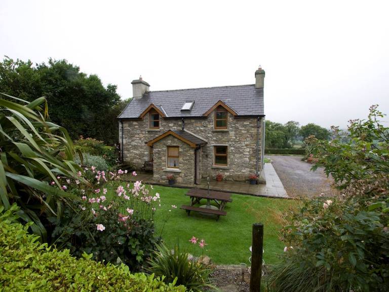 Man-made underground passage in SarueMan-made underground passage · 1068 yd
 Flax MillRuins · 1576 yd
 Jeremiah O'Donovan RossaMemorial · 1615 yd
 Stone circle ( Glanbrack )Archaeological place · 1748 yd
 Cross commemorating Holy Day.Memorial · 2.2 mi
 CarrigfaddaMountain / peak · 2.3 mi
 Castle SalemCastle · 2.8 mi
 Michael Collins BirthplaceHistoric birthplace · 2.9 mi
 Clasharusheen Mansion (Site of)Castle, unclassified · 2.9 mi
 The Warren DunesNature reserve · 4.9 mi
 Lookout over MillcoveViewpoint · 4.9 mi