What is recorded here
In pasture75m N of a watercourse that marks the townland boundary with Ballyshane. Depicted on the 1840 ed. OSi 6-inch map as a circular enclosure. It is shown on the 1897 ed. OSi 25-inch map as a raised sub-circular-shaped area (dims. c. 60m NE-SW; 55M NW-SE) defined by a scarp from NE-S-NW incorporated into a field boundary elsewhere with an external fosse from SW-NW. Intersected at NE and NW by field boundary running NE-SW. Visible as an oval-shaped area delimited by trees on Digital Globe orthoimage taken between 2011-13 and on Google Earth orthoimages.
See attached Google Earth orthoimages.
Compiled by: Martin Fitzpatrick
Date of upload: 10 November 2021
A fairy fort / earthen ringfort in Ruppulagh is a sub-circular, earthen enclosure likely dating to the early medieval period, used as a defensive or agricultural settlement. It is associated with local folklore regarding fairy activity, common in such sites across Ireland.
The monument record does not grant public access. Check the route and ask the landowner before entering private land.
- What survives
- Recorded monument
Places near here
 presbytery/parochial/curate's housepresbytery/parochial/curate's house · 1086 yd
 Enclosure in Ballyshane (coshlea By.)Enclosure · 1262 yd
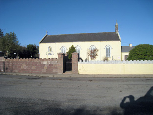 Catholic Church of Our Lady of Ransomchurch/chapel · 1364 yd
 Infants Burial Ground (Disused)Children's burial ground · 1448 yd
 Site of CastleCastle, unclassified · 1.5 mi
 Ballyhoura WayWalking route · 1.9 mi
 Keale MountainMountain / peak · 2.2 mi
 Palatine's RockNamed rock · 2.2 mi
 Gooseberry HillMountain / peak · 2.6 mi
 ToberpatrickSpring · 2.7 mi
 Treada Na Ríogh (The Moat), hachuredCastle, motte · 3.0 mi
 Ballyhoura tourist informationVisitor information · 3.1 mi