What is recorded here
Rosstemple Fort is a broken earthen ring on flat pasture, marked by a scarp, outer ditch and eastern gap before a later field cut through its west side. The Ordnance Survey still named it in 1840, yet trees and grass have since taken back much of its shape. It may have been a home, a boundary marker or a place people avoided, but its roundness and entrance suggest it was made for living rather than forgotten.
On flat pasture, 90m SW of townland boundary with Tullerboy and 215m SW of an enclosure (LI031-086----). Depicted on the OSi 25-inch map as sub-circular shaped area (N-S 34m, E-W 32m) defined by a scarp, external fosse from W-N-NE and E-S-SW and entrance gap at E, truncated at SW-W by a post-1700 field boundary running NW-SE. In 1840 the Ordnance Survey recorded the presence of 'Rosstemple Fort' located ‘near the S.W. boundary of Rosstemple townland’ (OSNB Athlacca Parish, 189). Overgrown monument visible on oblique aerial photograph (ASIAP (306) 29) taken in 2002. Tree-covered enclosure visible on OSi orthophotograph taken between 2005-12 and on Google Earth orthoimage date 14/09/2019.
See attached ASI aerial Photograph (ASIAP (309) 29)
Compiled by: Fiona Rooney
Date of upload: 25 March 2021
The monument record does not grant public access. Check the route and ask the landowner before entering private land.
- What survives
- Recorded monument
Places near here
 Castle IeversCastle, unclassified · 962 yd
 St Broneys WellHoly well · 1269 yd
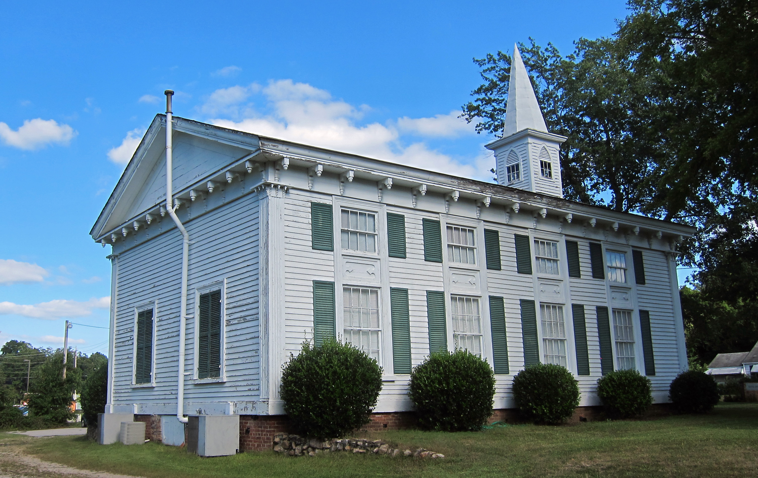 Church (in ruins)Church · 1287 yd
 bridgebridge · 1353 yd
 Earthwork in Athlacca NorthEarthwork · 1620 yd
 Athlacca Ho. (in ruins)Castle, unclassified · 1.3 mi
 Monasteranenagh AbbeyHeritage attraction · 2.9 mi
 European ashEuropean ash · 3.1 mi
 Biodiversity in the Maigue CatchmentVisitor information · 3.8 mi
 Dysert AenghusaHeritage attraction · 4.5 mi
 Kinnoor WellSpring · 5.3 mi
 KnockfeerinaMountain / peak · 5.9 mi