What is recorded here
Fairy forts are human places misnamed because people stopped remembering the hands that built them. This is one of those places: a round grassy field ringed by a low earthen bank and a shallow outer ditch, set on a drumlin crest above Lough Scur in Roscarban. The forgotten entrance and the living rush in the soil suggest a small dwelling, not a palace, perhaps a seasonal farmstead where people watched water, weather and passing life.
Situated at the crest of the SE-facing slope of a drumlin overlooking the W part of Lough Scur, the shore of which is c. 250m distant NNW-E-S. This is a grass and rush-covered subcircular area (int. dims 34m N-S; 30.5m E-W) defined by a round-topped earthen bank (at NE: Wth of base 2.9m; int. H 0.25m; ext. H 0.95m) with some bushes and an external fosse (at NE: Wth of top 4.2m; D 0.15m). The original entrance is not identified, and the monument is circumscribed by a field wall NE-S.
The above description is derived from 'The Archaeological Inventory of County Leitrim' compiled by Michael J. Moore (Dublin: Stationery Office, 2003). In certain instances the entries have been revised and updated in the light of recent research.
Date of upload: 23 September 2008
The monument record does not grant public access. Check the route and ask the landowner before entering private land.
- What survives
- Recorded monument
Places near here
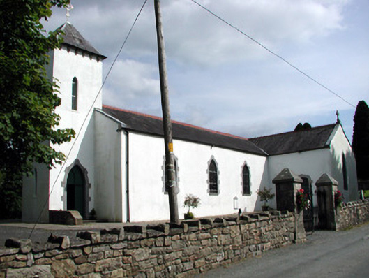 Saint Brigid's Catholic Churchchurch/chapel · 570 yd
 Rusheen IslandIslet · 715 yd
 bridgebridge · 889 yd
 Small IslandIslet · 1063 yd
 Castle JohnCastle · 1167 yd
 IndicatedFairy fort / stone ringfort · 1365 yd
 Enclosure in SheebegEnclosure · 1637 yd
 CastleforeCastle, tower house · 2.4 mi
 Sheemore Ambush MemorialMonument · 2.7 mi
 Leabaidh DermotCave · 3.0 mi
 Rocking StoneNamed rock · 4.3 mi
 Sliabh an IarainnMountain / peak · 4.6 mi