What is recorded here
Mortons and company built the first fort at Rockforest West, marking the edge of human control before memory faded. They drew a line in soil, not on a map, and the line still holds. The chamber is no longer a chamber of stones; it is a chamber of life, with dead and living woven through one another. What was forbidden became a gift, and what was a gift became a cage. The fort is the shape of that turning.
In pasture, on NW-facing slope, overlooking River Blackwater to N and NW. Circular area (diam. c. 40m) enclosed by two earthen banks with intervening fosse; external fosse survives to N as slight slope down to base of outer bank. Inner bank (int. H 0.3m; ext. H 1.5m to base of fosse), outer bank (int. H 0.9m to base of fosse; ext. H 0.8m) and interior heavily overgrown with trees, bushes and briars.
The above description is derived from the published 'Archaeological Inventory of County Cork. Volume 4: North Cork' (Dublin: Stationery Office, 2000). In certain instances the entries have been revised and updated in the light of recent research.
Date of upload/revision: 14 January 2009
The monument record does not grant public access. Check the route and ask the landowner before entering private land.
- What survives
- Recorded monument
Places near here
 Rockforest Lodgehouse · 640 yd
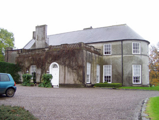 Rockforest Housecountry house · 715 yd
 Grave YardGraveyard · 809 yd
 Fulacht fia in CarrigoonFulacht fia · 1.0 mi
 Carrig Castle (in Ruins)Castle, tower house · 1.1 mi
 Lover's LeapCliff · 1.7 mi
 Lover' LeapCliff · 1.8 mi
 Mallow Town Park - Maple WoodsForest · 2.1 mi
 Mallow Castle HouseCastle · 2.4 mi
 In loving memory of Elvis O'DonoghueMemorial · 3.2 mi
 Mallow River TrailVisitor information · 3.2 mi
 Blackwater WayWalking route · 3.6 mi