What is recorded here
Located towards the top of the gentle W-facing slope of a low N-S ridge. The cropmark of a circular enclosure (diam. c. 30m) defined by a single fosse feature is visible on aerial photographs (ASIAP, WX 100, 26-7).
The above description is derived from the published 'Archaeological Inventory of County Wexford' (Dublin: Stationery Office, 1996). In certain instances the entries have been revised and updated in the light of recent research.
Compiled by: Michael Moore
Date of upload/revision: 16 August, 2012
A fairy fort or earthen ringfort in Robinstown Great is a circular early-medieval defensive or domestic site, likely dating to between the 5th and 10th centuries AD, as indicated by its fosse feature and cropmark visibility. Local tradition associates such sites with fairy folklore, often regarding them as the homes of supernatural beings or portals to the Otherworld.
The monument record does not grant public access. Check the route and ask the landowner before entering private land.
- What survives
- Recorded monument
Places near here
 IndicatedFairy fort / earthen ringfort · 203 yd
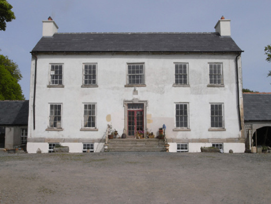 Robinstown Housefarm house · 832 yd
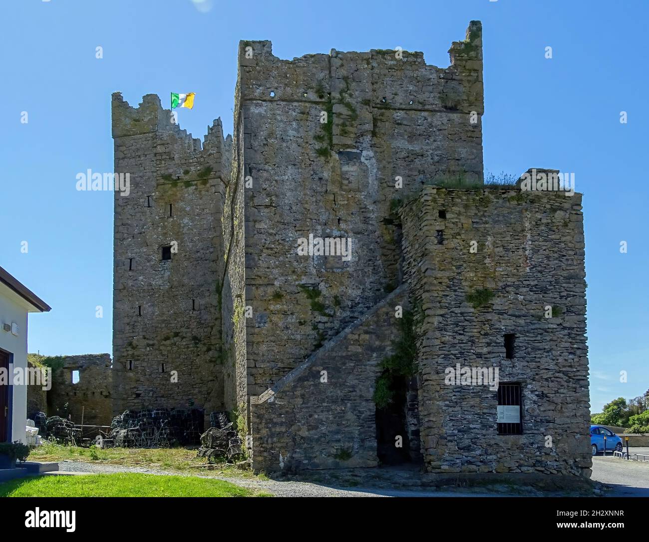 Embanked enclosureFairy fort / earthen ringfort · 996 yd
 Palace East Junction Railway Stationrailway station · 1717 yd
 Old Ross MoteCastle, motte and bailey · 1.6 mi
 Site of CastleCastle, unclassified · 1.6 mi
 Carrickmastia HillMountain / peak · 2.9 mi
 Forest Of The DunbrodyForest · 3.0 mi
 Lacken HillMountain / peak · 3.0 mi
 1798 RebellionMemorial · 3.5 mi
 Glenour MonumentMemorial · 4.3 mi
 Silver WattleSilver Wattle · 5.0 mi