What is recorded here
No visible fort remains in Rinville West, yet a circular shadow still marks the NW-facing pasture where a forty-five-metre earthen ring once stood. Cattle now walk across the buried entrance and forgotten bank, turning ancient ground into ordinary grass. The fort has not vanished entirely; it has become invisible, waiting beneath hooves and rain for someone to look downward instead of around.
On a NW-facing slope in pastureland. Classified by McCaffrey (1952, 144, no. 15) as a circular ‘Earthen fort’ (diam. c. 45.7m) defined by a bank with an entrance gap at W. Athy (1914, 138) refers of a fosse and outer bank which ‘have disappeared’. The rath has been levelled and no visible surface trace survives, however, its outline is clearly visible on the OSi digitalglobe aerial photograph.
Compiled by: Galway Archaeological Survey, UCG
Date of upload: 10 April 2018
The monument record does not grant public access. Check the route and ask the landowner before entering private land.
- What survives
- Recorded monument
Places near here
 RinvilleFairy fort / earthen ringfort · 267 yd
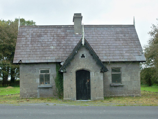 Rinville Parkgate lodge · 340 yd
 CastleCastle, tower house · 386 yd
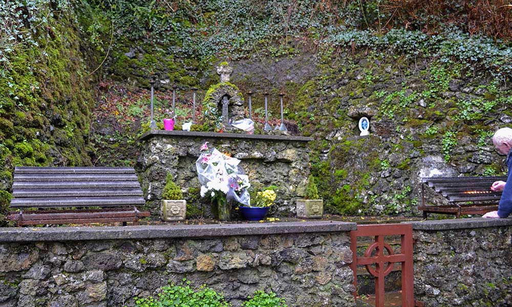 Holy well in Rinville WestHoly well · 444 yd
 South WoodWood · 447 yd
 North WoodWood · 588 yd
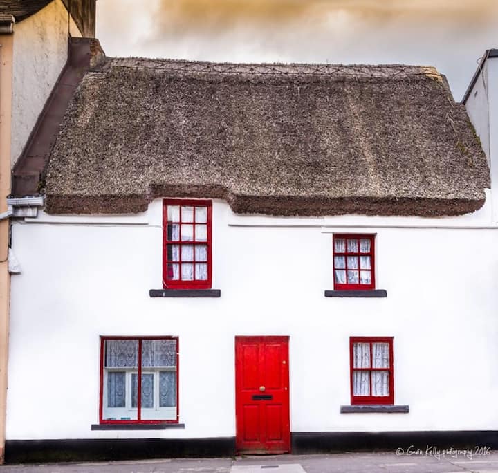 Stafort HouseRuins · 606 yd
 Leadmine HillMountain / peak · 1.0 mi
 Castle (in Ruins)Castle, tower house · 1.0 mi
 Ardfry PointHeadland · 2.2 mi
 Rabbit IslandIslet · 2.3 mi
 Goose IslandIslet · 2.5 mi