What is recorded here
A missing corner of the ringfort is where the fairies enter and leave. The stones and soil belong to people, but the gap belongs to the fleet ones. Reenogrena is not complete because completion would trap them.
In pasture, on E-facing slope, scrubland broken by rock outcrop on upslope. Circular area (21m NNW-SSE; 20.3m E-W) enclosed by earthen, stone-faced bank (int. H 1.45m) E->NW; scarp NW->NE; external fosse S->NNW, overgrown to W, shallow to S. Break in bank to WSW (Wth 1m) and NNW (Wth 1m). Circular hut site (diam. c. 7m) (CO143-83001-) in interior off-centre to S, defined by earth and stone bank (H 0.75m).
The above description is derived from the published 'Archaeological Inventory of County Cork. Volume 1: West Cork' (Dublin: Stationery Office, 1992). In certain instances the entries have been revised and updated in the light of recent research.
Date of upload/revision: 14 January 2009
The monument record does not grant public access. Check the route and ask the landowner before entering private land.
- What survives
- Recorded monument
Places near here
 Hut site in ReenogrenaHut site · 1 yd
 Famine VillageRuins · 176 yd
 Kilcarrignacat B Gd (Children)Burial ground · 341 yd
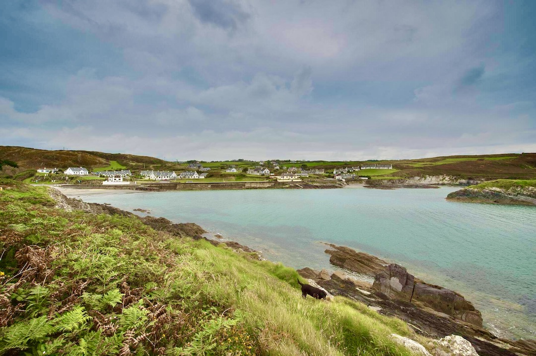 Faill na SeabhachCliff · 428 yd
 Prison CoveBeach / strand · 1201 yd
 Trá an tAonaighBeach / strand · 1457 yd
 Drombeg Fulacht Fia and RuinsVisitor information · 1.0 mi
 Drombeg Stone CircleArchaeological place · 1.0 mi
 Adam's IslandIslet · 1.1 mi
 Eve IslandIslet · 1.2 mi
 Country house in Drombeg (carbery E. (w.d.) By.)Country house · 1.3 mi
 Walk 1 - Drombeg Standing Stone Circle (7 - 9 km)Walking route · 1.3 mi