What is recorded here
Mortimer’s army marched past Rathroe because the fort still stood proud on its knoll, overlooking the river valley where men could watch danger arrive from a distance. The oval grass plateau may have held homes, herds or warnings for generations before stone towers claimed the land. Fairy forts invite people to imagine more than survival, yet even an empty circle on a ridge serves the living by marking where sight and memory still belong.
In pasture, located in an area of gently undulating terrain. The rath utilises a low natural knoll, which forms a small N-projecting spur on a low E−W ridge. The location provides good views, especially to N and E along the meandering valley of the Rathroe River. The rath encompasses a roughly oval, level area (c. 25m N−S; c. 30m E−W) on the top of the knoll. It is defined at W−NNE by the steep natural slope of the knoll (H c. 2m at W; H c. 3.5m at N). The base of this steep slope has been incorporated into a later field bank, now disused and partly eroded. At NE a short stretch of scarp (H 1.45m) is evident which peters out at E. At E−SE, where the knoll merges with a lower part of the ridge extending to E, there is slight slope down but no clearly defined enclosing element. This side of the knoll is bordered by a NNE−SSW property fence. At SE−SW, a slight scarp (H 0.3m) appears to indicate the curving S perimeter of the rath. The interior area is level and featureless. It is known in local tradition as a ‘fort’ (pers. comm. Mr. Seán Gilvarry, Rathroe, May 2016); it would appear to be the rath from which the townland derives its name. Rathroe Castle, a tower house (MA021-033----) is located on the E bank of the river c. 200m to SE.
Compiled by: Jane O'Shaughnessy
Date of upload: 23 May 2015
The monument record does not grant public access. Check the route and ask the landowner before entering private land.
- What survives
- Recorded monument
Places near here
 Rathroe CastleCastle · 258 yd
 RathmeelFairy fort / earthen ringfort · 1295 yd
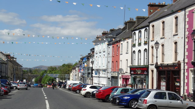 RathnagowlaFairy fort / earthen ringfort · 1554 yd
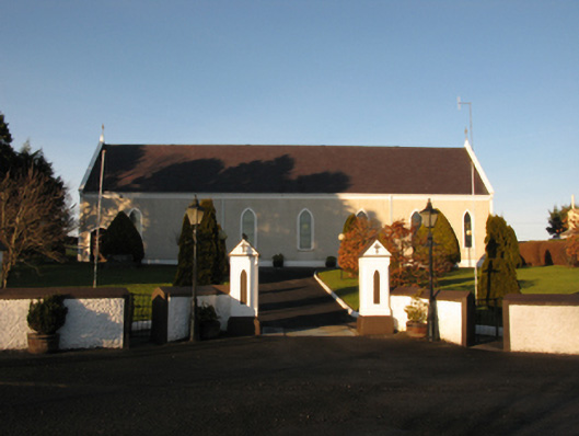 Catholic Church of the Sacred Heartchurch/chapel · 1637 yd
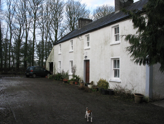 Doonanarroo Housefarm house · 1.0 mi
 Carn Castle (in Ruins)Castle, unclassified · 1.4 mi
 Lisheen Grave YardArchaeological place · 3.8 mi
 Battle of Killalabattle · 4.4 mi
 Green IslandIslet · 4.8 mi
 Rinnaun PointHeadland · 5.2 mi
 TrabaunBeach / strand · 6.3 mi
 Grave of the KingsArchaeological place · 8.3 mi