What is recorded here
Odhran built Rathoran beside a curving stream, raising a seven-metre earthen bank around an oval home. Three mounds still mark the interior, perhaps burial places or forgotten hearths, while a cave appears on old maps nearby. The fort remains simple and exposed, yet the water and soil suggest Odhran valued shelter, boundary and life more than show.
Internal diameter 41m N-S, 38m E-W
Rathoran/Ráth Odhráin (ringfort of Odhrán (personal name)). This univallate rath, situated in the corner of a field, is bounded to the NE and S-SW by a fieldbank, and from N through W to S a stream curves around the exterior. An oval-shaped inner area is enclosed by an earthen bank which is on average 7m wide at the base. It rises to a maximum of 2.2m externally and 1.6m above the interior. 'Cave' (KE017-014001-) is marked on the 1841-42 OS map, and in the interior are three mounds which lie in a NE-SW direction. The NE mound (KE017-014002-) is 1.2m x 1m and .2m high, the largest and central mound lies 1m to the SW and is 4.2m x 4.4m and .4m high, while the SW mound is 2m x 1.8m and .6m in height.
The above description is derived from C. Toal, ‘North Kerry Archaeological Survey’. Dingle. Brandon in association with FAS Training and Employment Authority (1995), no. 659. In certain instances the entries have been revised and updated in the light of recent research.
Date of upload: 2 August 2013
The monument record does not grant public access. Check the route and ask the landowner before entering private land.
- What survives
- Recorded monument
Places near here
 RathoranArchaeological place · 5 yd
 Purt CastleCastle · 1.4 mi
 Duagh Church (in ruins)Church · 1.6 mi
 TobermurryHoly well · 1.6 mi
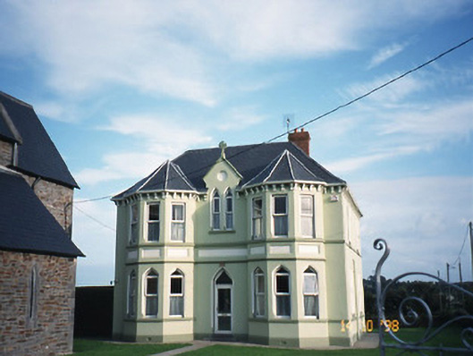 Saint Brigid's Catholic Churchpresbytery/parochial/curate's house · 1.7 mi
 CastleCastle, tower house · 4.8 mi
 Lawson's CypressLawson's Cypress · 5.0 mi
 John B. KeaneMemorial · 5.9 mi
 Holocaust MemorialMemorial · 5.9 mi
 Kerry Writers' MuseumMuseum · 6.4 mi
 Lartigue MonorailMuseum · 6.7 mi
 Three CountiesPicnic place · 9.5 mi