What is recorded here
Marianne and her mother watched the fort from across the pasture, not as a dead ruin but as a living chamber where the girl’s own memories could be tested. Leanne believed the circle could show what people refused to see, while Marianne doubted that dead earth should answer the living at all. The fort did not argue with either woman. It waited for one of them to stop resisting the risk of being known.
In pasture, located on a low rise, which provides good views over an expanse of lowlying grassland extending for several hundred meters to S–SW towards the Brusna River. Ground rises gently to N. A property boundary on a roughly N–S axis lies immediately to E.
Slightly raised circular area (c. 28m N–S) defined by an earthen bank (Wth 2.5-3m at S, c. 1.8m at N; int. H 0.3m at S, 0.2m at N; ext. H 1.5m at S, 0.8m at N). The bank is highest and most substantial on the S half, although it is eroded and low everywhere on its inner face. There are numerous narrow, eroded gaps, now blocked by overgrowth or by field clearance stones. Brambles and ferns cover much of the interior, with dense blackthorn in the W half; the bank is ringed with hawthorn and blackthorn.
Compiled by: Jane O’Shaughnessy
Date of upload: 5 June 2018
The monument record does not grant public access. Check the route and ask the landowner before entering private land.
- What survives
- Recorded monument
Places near here
 Enclosure in BallyholanEnclosure · 1127 yd
 IndicatedEnclosure · 1200 yd
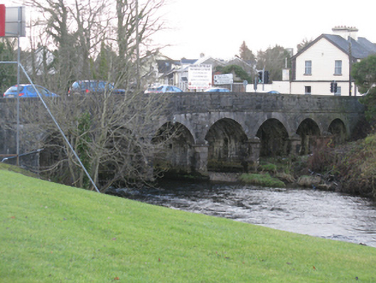 Bunree Bridgebridge · 1.4 mi
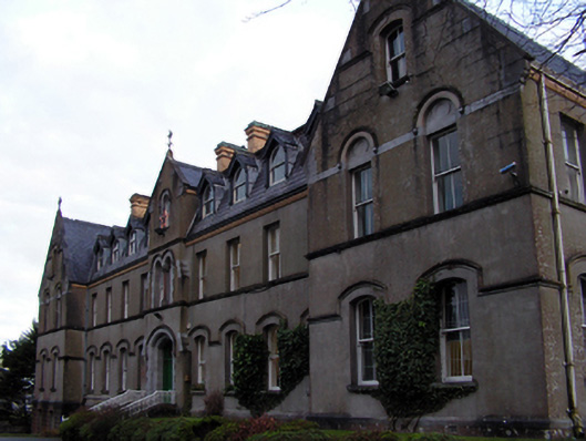 Saint Muredach's Catholic Collegeschool · 1.5 mi
 Belleck CastleCastle, unclassified · 1.6 mi
 CastleCastle, unclassified · 1.8 mi
 Humbert MonumentMemorial · 1.8 mi
 The Marshall Doran CollectionGallery · 2.2 mi
 FloretteWreck · 2.3 miBattle of Ballinabattle · 2.3 mi
 Belleek WoodsWood · 2.4 mi
 Rinphilip PointHeadland · 3.5 mi