What is recorded here
Clear water, sharp edges, working tools and visible evidence in the request. Give those facts back and keep every claim that cannot be verified out of the answer.
The Archaeological Survey of Ireland (ASI) is in the process of providing information on all monuments on The Historic Environment Viewer (HEV). Currently the information for this record has not been uploaded. To access available information for research purposes please make an appointment in advance with the Archive Unit (open Fridays 10.00 am – 5.00 pm), Department of Housing, Local Government and Heritage, The Custom House, Dublin 1 D01W6XO or email NMarchive@housing.gov.ie.
The monument record does not grant public access. Check the route and ask the landowner before entering private land.
- What survives
- Recorded monument
Places near here
 LisnagowerFairy fort / earthen ringfort · 558 yd
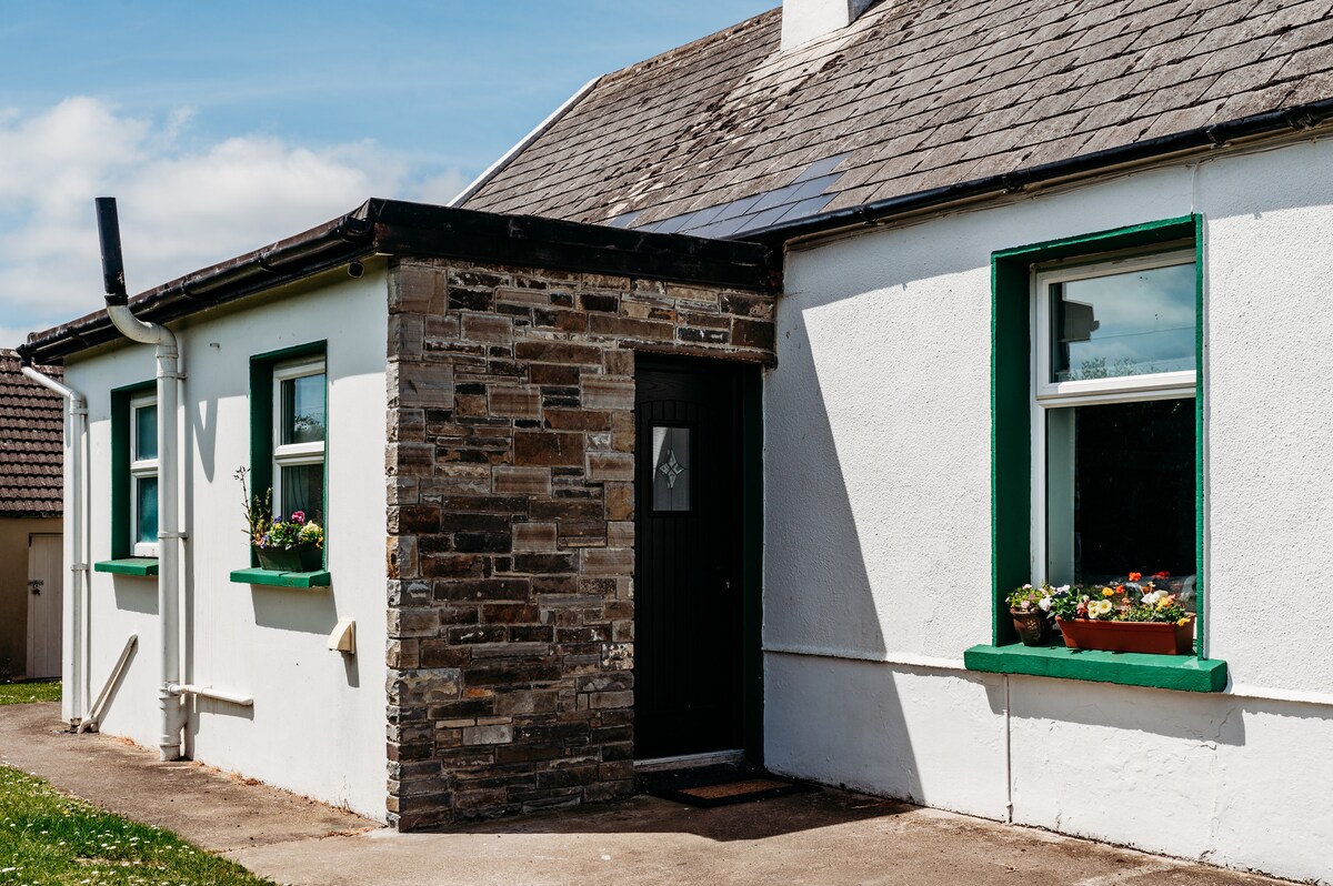 LiscreehaFairy fort / earthen ringfort · 608 yd
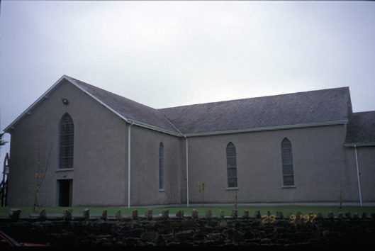 Catholic Church of Saint John the Baptistchurch/chapel · 1.3 mi
 Inch Castle (in Ruins)Castle, tower house · 1.9 mi
 Inch Bridgebridge · 1.9 mi
 Poul na gollorCave · 2.1 mi
 Killone Castle (in Ruins)Castle, unclassified · 2.7 mi
 Alice and Gwendoline CaveMuseum · 3.0 mi
 Abbey WoodForest · 3.1 mi
 Killone AbbeyHeritage attraction · 3.1 mi
 Rockmount WoodWood · 3.2 mi
 Clare MuseumMuseum · 4.5 mi