What is recorded here
Situated on the summit of a small N-S ridge, with a canalised N-S stream around the base of the hill c. 80-100m to the W. This is a raised subcircular and grass-covered platform (diam. of base 56m NW-SE; diam. of top 40m E-W; 37m N-S) defined by a scarp (at SE: Wth 5m; H 2.4m; at NW: Wth 8.5m; H 3.2m). There is no visible bank or fosse but there is a ramp entrance (Wth of base 3.3m) at ESE.
The above description is derived from the published 'Archaeological Inventory of County Meath' (Dublin: Stationery Office, 1987). In certain instances the entries have been revised and updated in the light of recent research.
Compiled by: Michael Moore
Date of upload/revision: 3 September 2018
The monument record does not grant public access. Check the route and ask the landowner before entering private land.
- What survives
- Recorded monument
Places near here
 LisatanvallyFairy fort / earthen ringfort · 470 yd
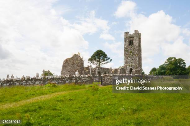 LisnaguinnellFairy fort / earthen ringfort · 714 yd
 GNR Christmas TreesForest · 876 yd
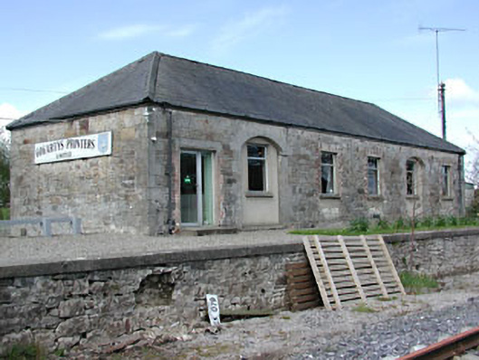 Kilmainham Wood Railway Stationstore/warehouse · 928 yd
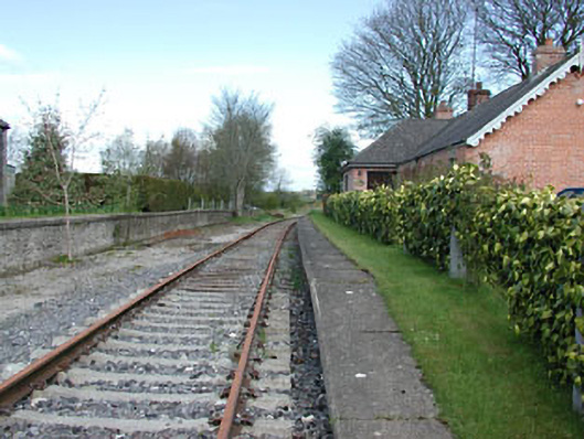 rails (section of)rails (section of) · 950 yd
 White WoodForest · 1331 yd
 Gallows HillMountain / peak · 2.1 mi
 MoatCastle, motte and bailey · 2.6 mi
 Castkecome RuinsCastle, unclassified · 2.7 mi
 Nobber GreenwayMemorial · 2.8 mi
 UghtyneillMountain / peak · 3.6 mi
 In Memory of Our DadMemorial · 4.5 mi